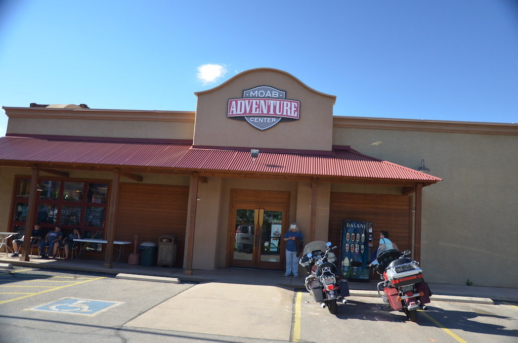
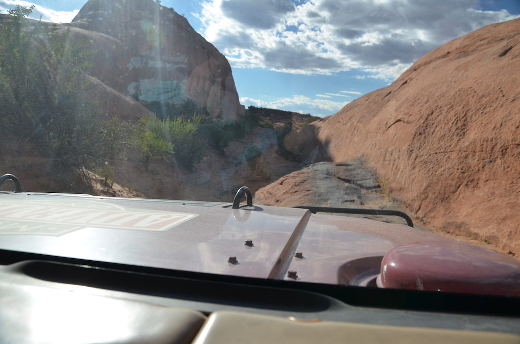
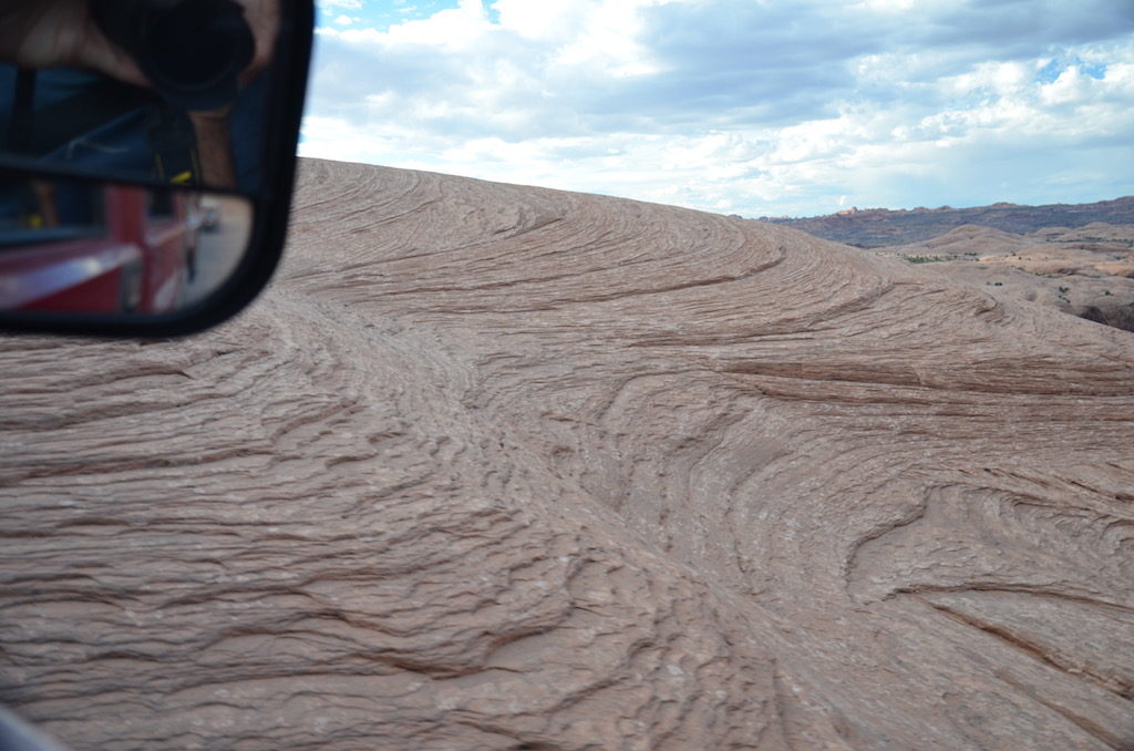
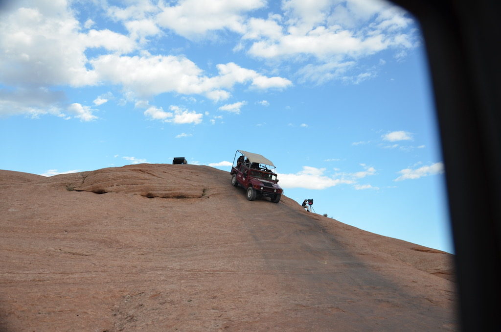
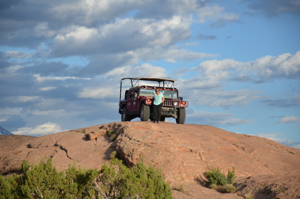
We left at 6:15PM from their shop in Moab for our 3 hour sunset tour. The “trail” started just minutes from there. I wasn’t sure what to expect but was soon to find out on this ride on the trail named “Hell’s Revenge”!Our tour started going up the ridge of a huge slick rock. The sandstone here is called slick rock but is actually very good for traction even when wet. The trail is easy to follow; just follow the black streak left by many Jeeps and Humvees scaling these rocks!
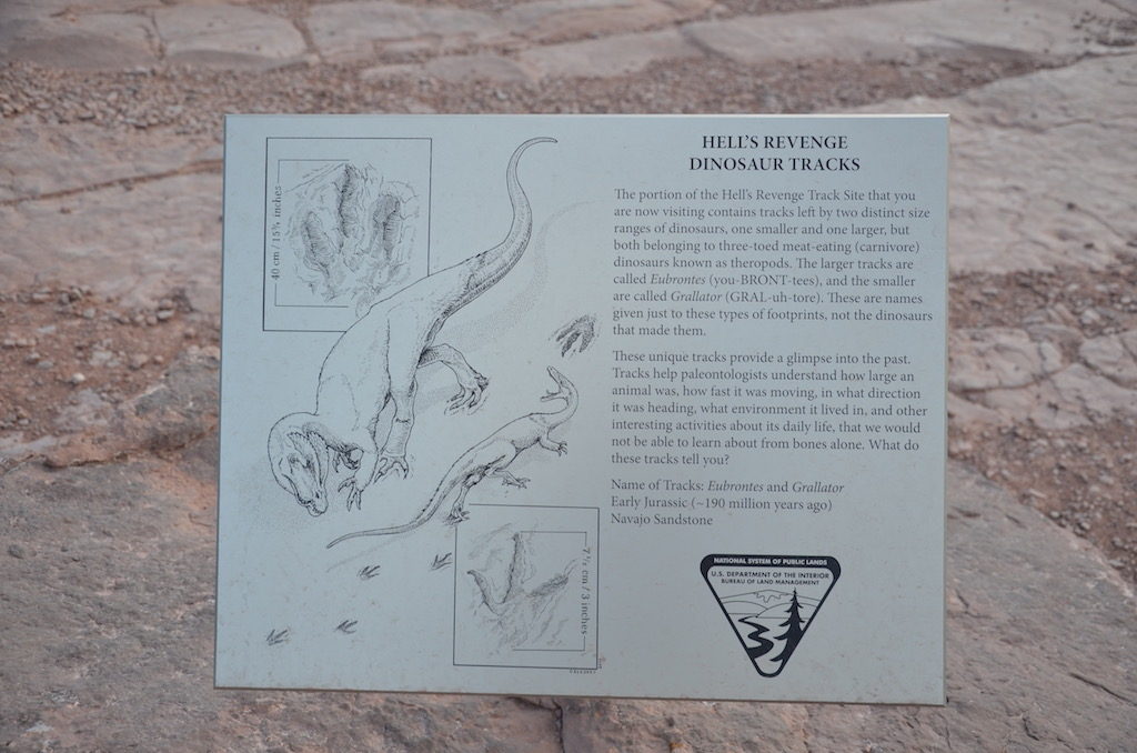
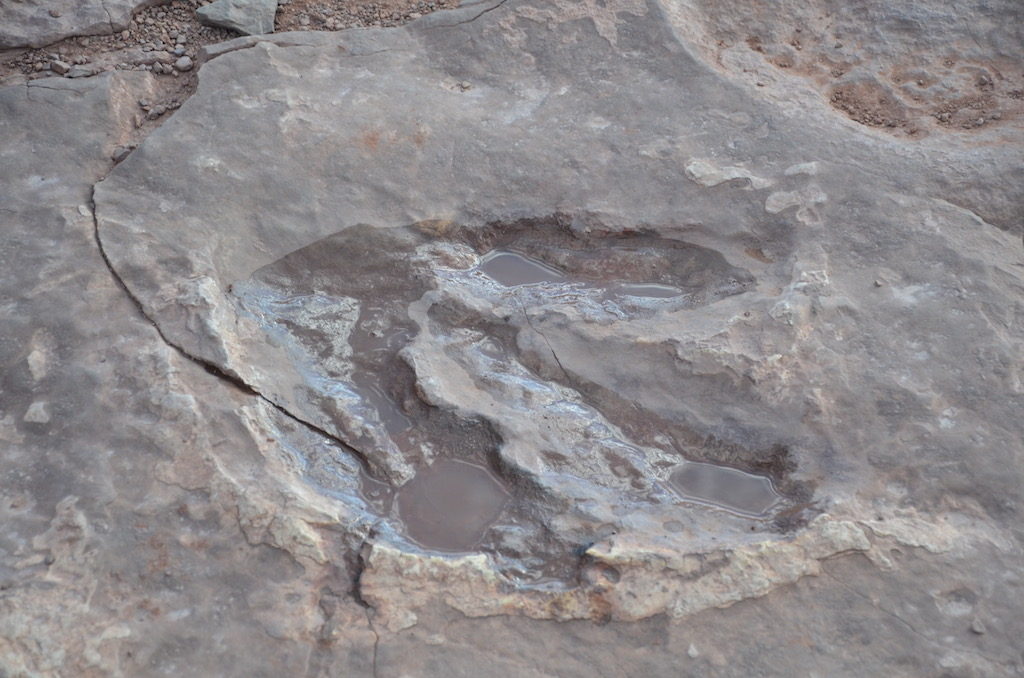
Our first stop was to look at some fossilized dinosaur prints left in the sandstone.
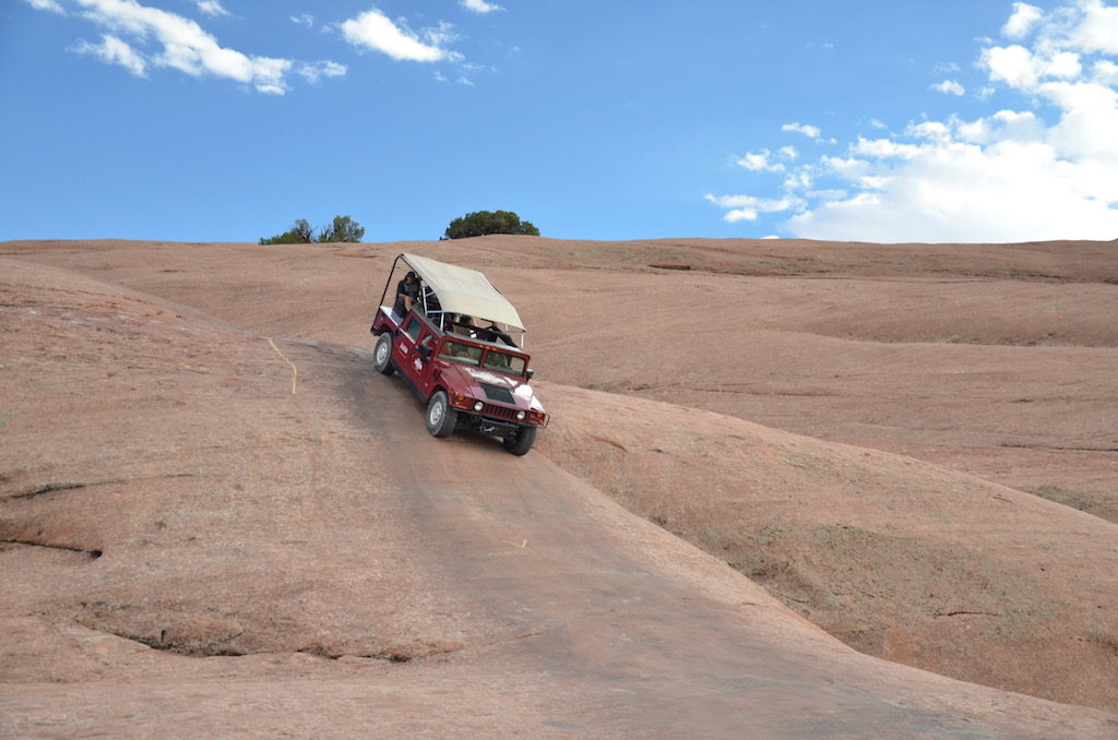
After this brief stop; onward and upward!
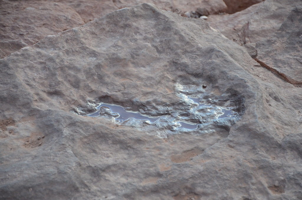
Our guide told us this small puddle left in this stone occurs almost yearly. There is a shrimp that lives in here. In drought years the eggs just lie dormant until spring rains fill it up again and the shrimp will once again inhabit this tiny ecosystem.
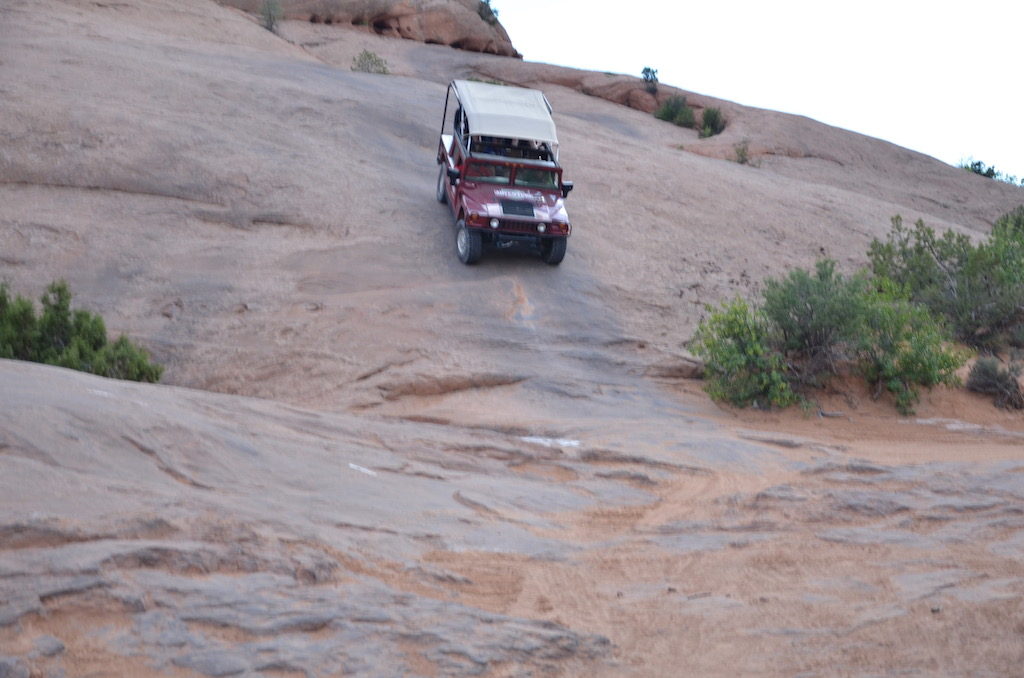
Lucky for us our driver wasn’t quite as daring (fool hardy) as this fellow!He made it though; all passengers intact!Our driver was kind enough to take any pictures we wanted to prove we were actually there for this adventure.
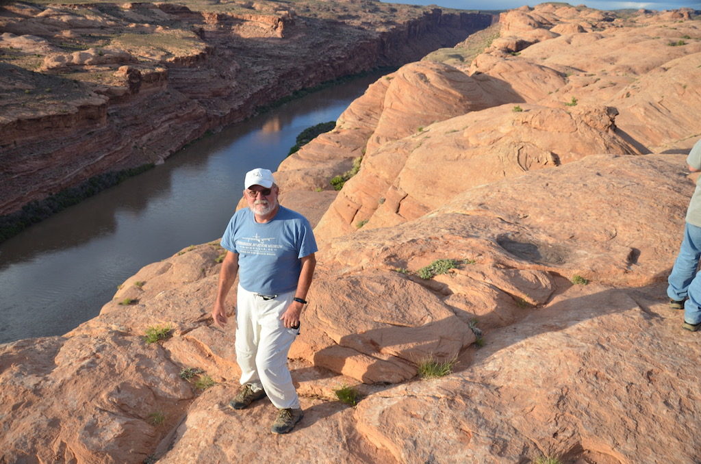
We stopped at this spot overlooking the Colorado River far below.As you can see, I didn’t venture too close to the edge!Some did.
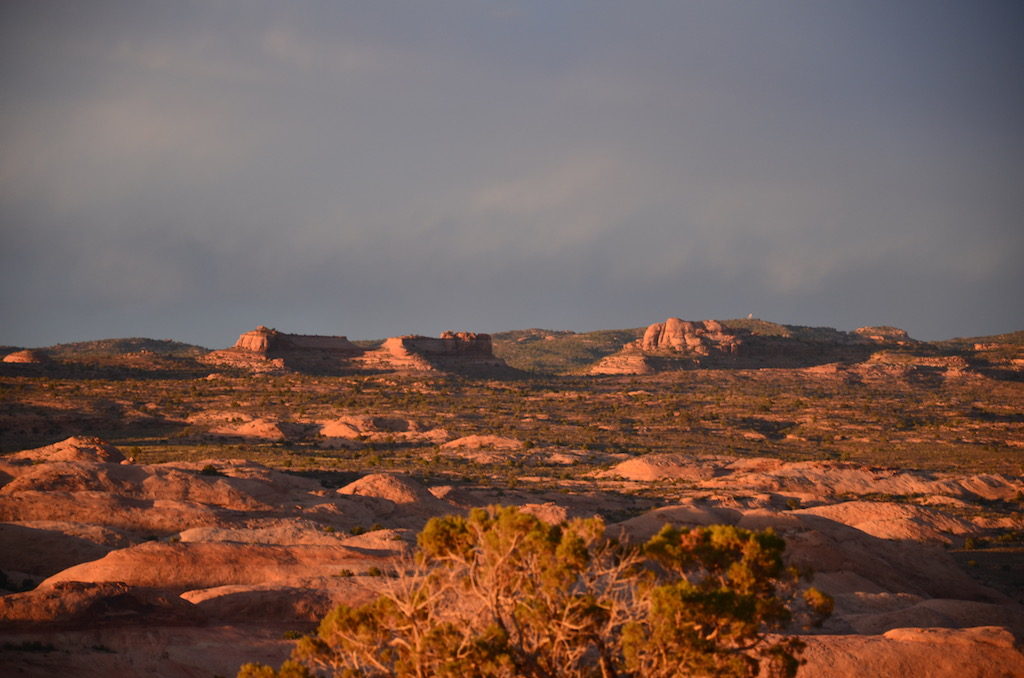
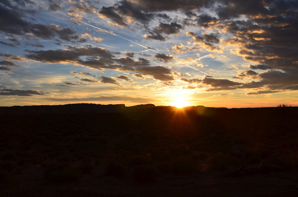
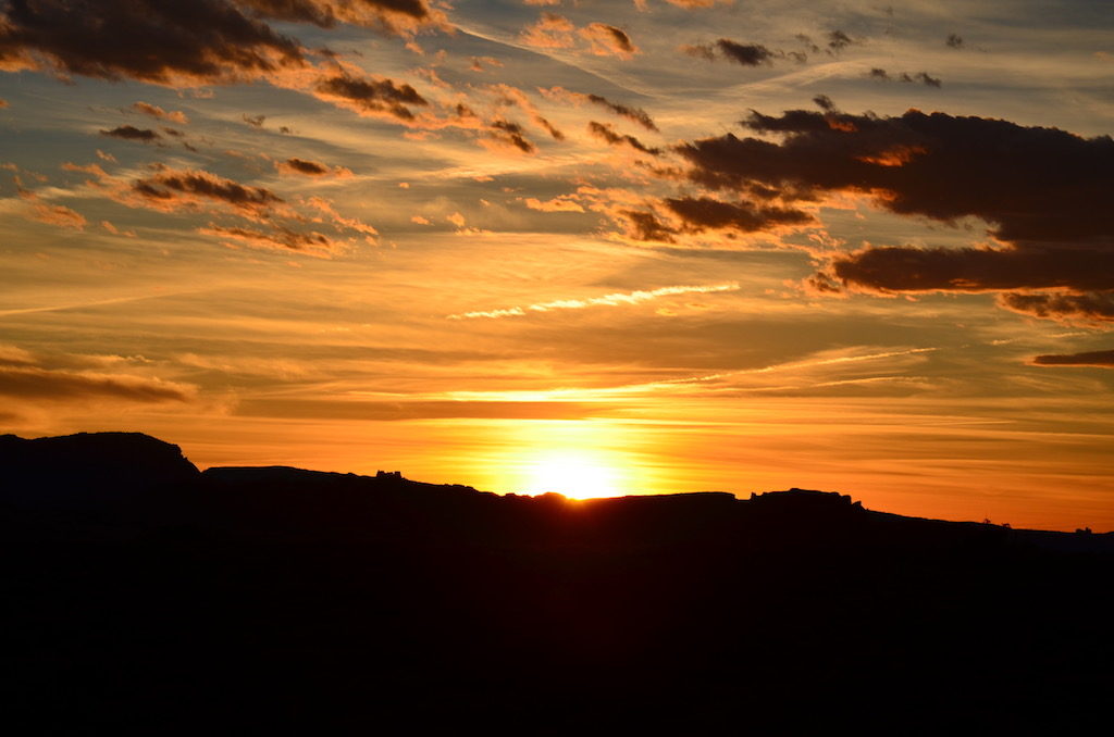
At our final destination to view the sunset. Beautiful colors changing before our eyes as the sun set.
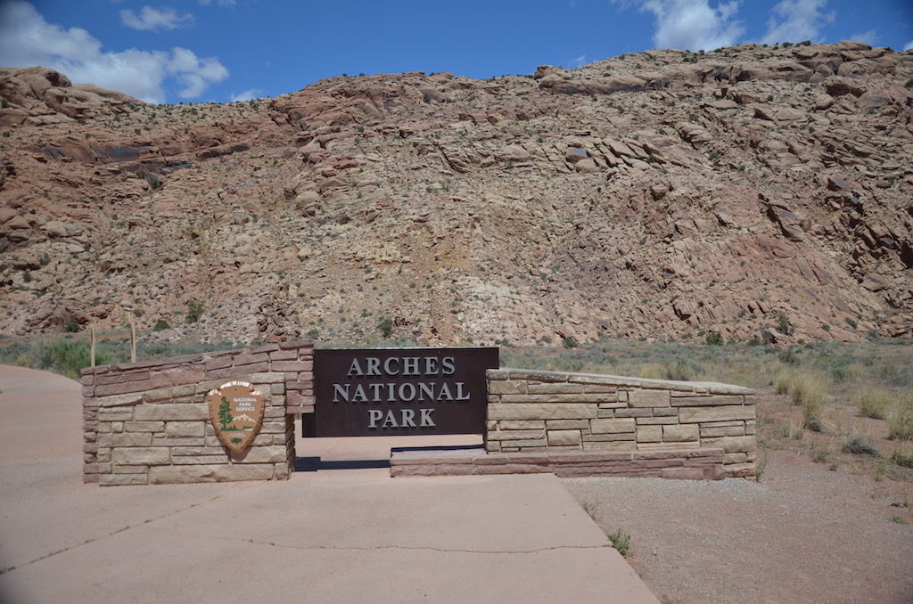
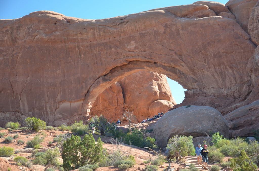
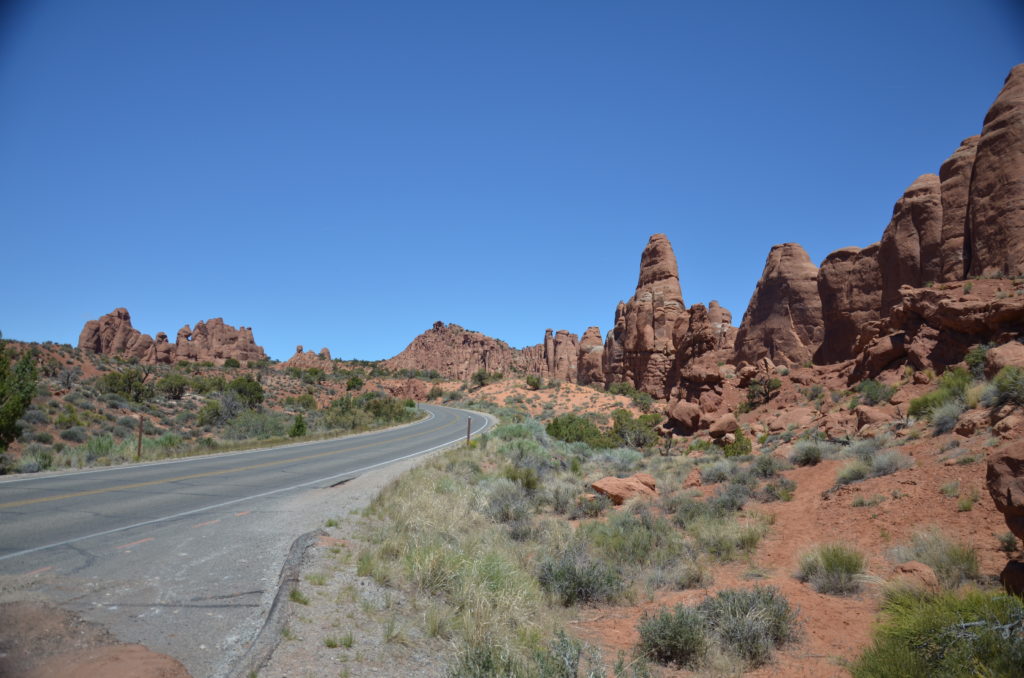
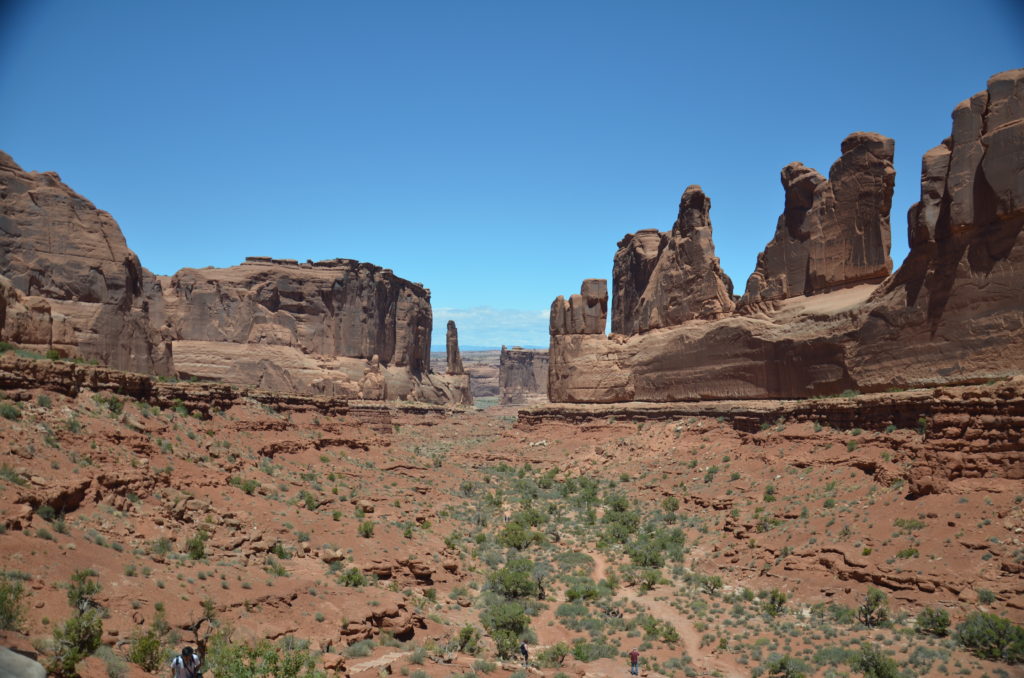
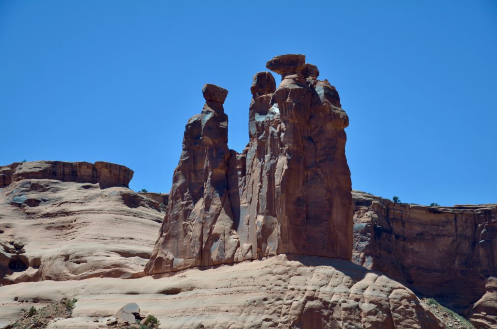
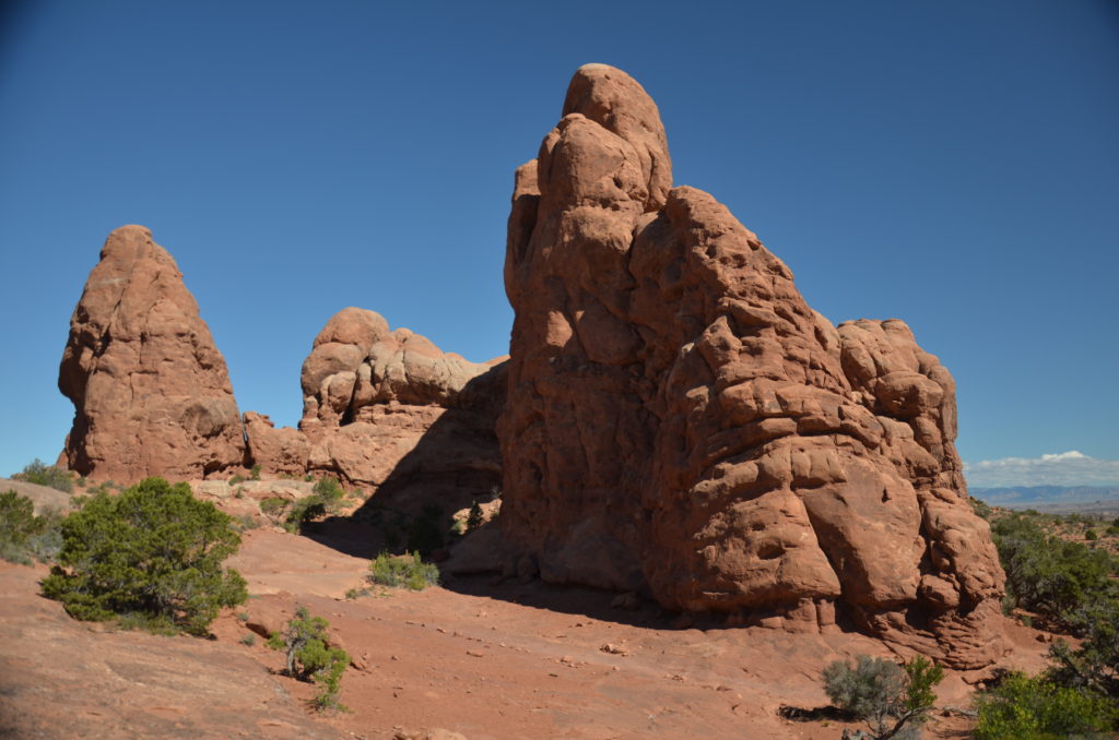
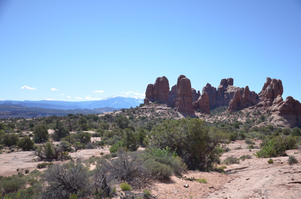
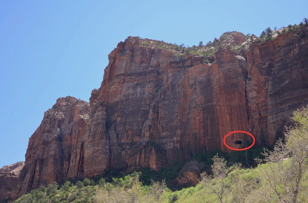
When we visited Arches they were doing major road construction so unfortunately we were unable to see many of the sights (and iconic arches) located in Devils Garden, but here are some pics of what we were able to see.The famous Double Arches
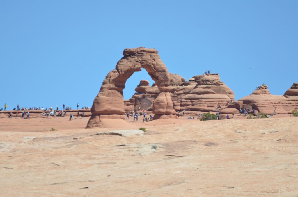
This is called ” Ham Rock” because someone thought it looked like a ham.This is probably the most famous arch; Delicate Arch. It’s the one that’s on their license plates. I took this with my 300mm telephoto. You can see how huge it is by the people in the picture. Amazing!
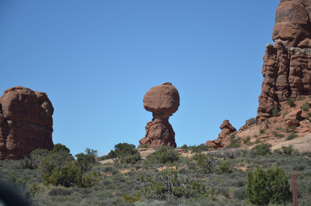
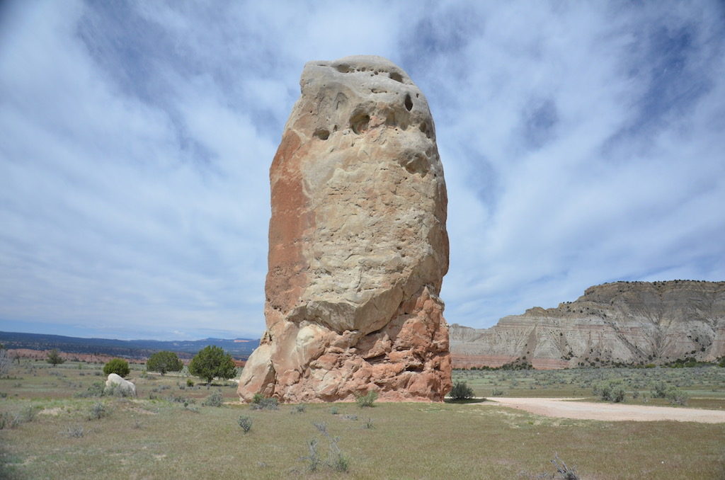
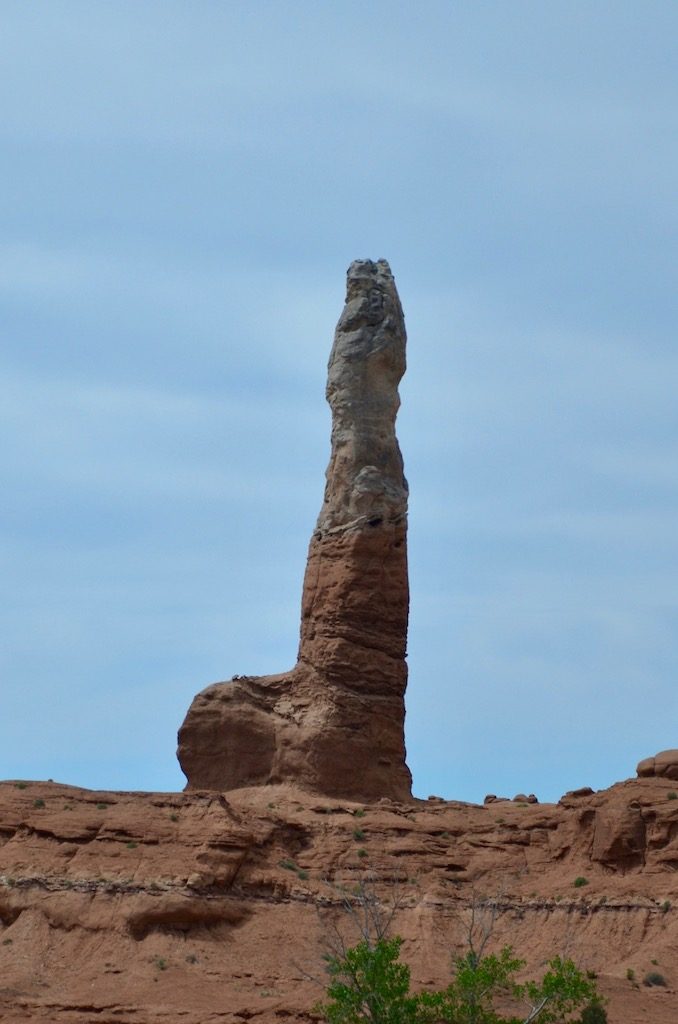
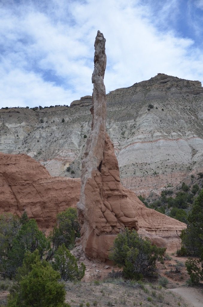
I can’t fathom how that rock stays up there of thousands of years!
The name comes from the 1900’s when cowboys used the area as a natural corral for wild horses, some of which did not survive.The road is is Open Range as you can see; I’m glad I invested in my Ranch Hand front bumper!The view from the point is breathtaking. Cirled in this picture is a couple with their infant right on the edge! Foolish if you ask me!The dirt road below is a remnant of the old trails. Yes that’s a Jeep and 2 mountain bikers down there.A nice view of a horseshoe bend in the Colorado River; you can see that trail from the previous shot in the foreground.Yes, another dead tree shot:-)
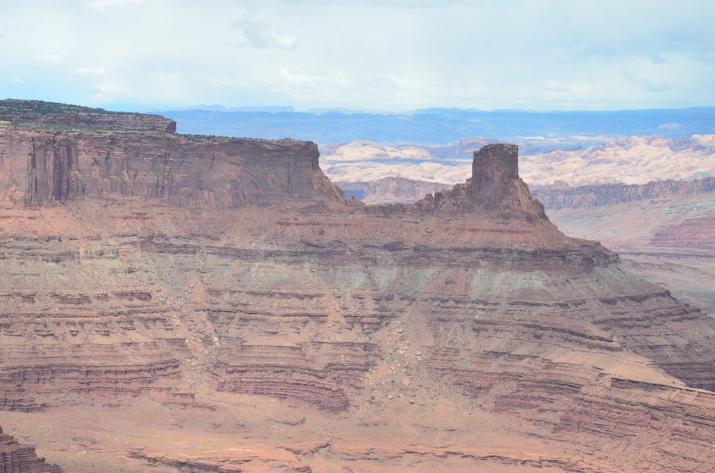
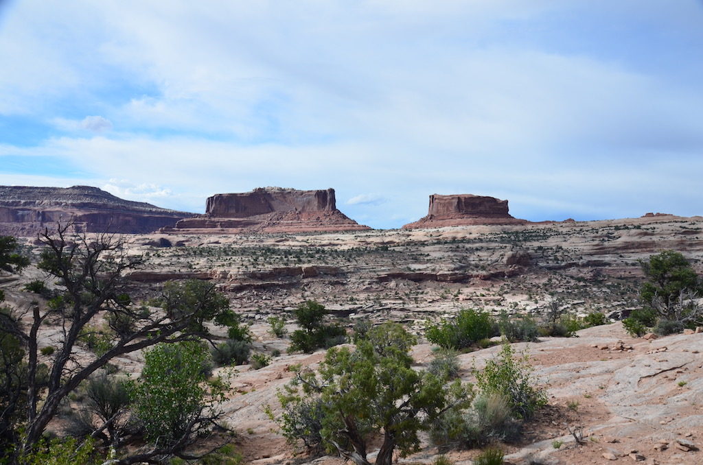
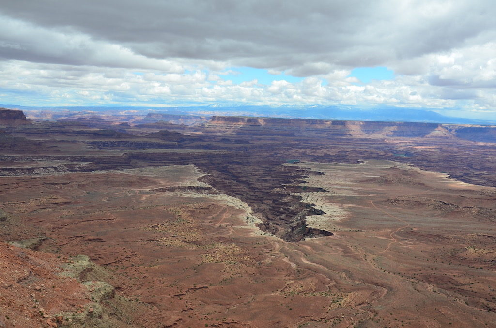
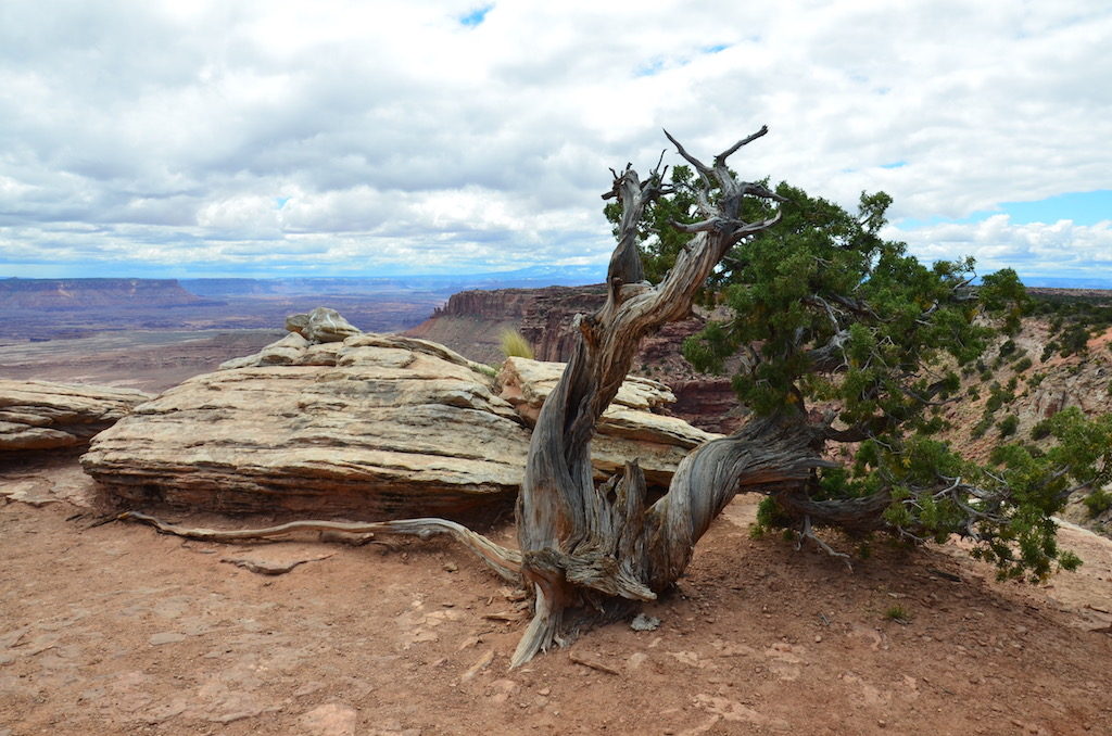
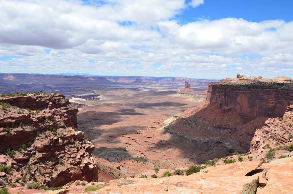
canyonlands national park
We grouped these two together only because they are directly adjacent to each other.This park entry was also open range; look out cows!Maybe not as deep or wide as the Grand Canyon but just as impressive.
The obligatory (not quite) dead tree!
This time a live tree; a Pinion tree.
This switchback trail went down 1000′ to the bottom of the canyon; just part of the many trails used by mountain bikers, ATV’s, 4 wheelers and hikers.
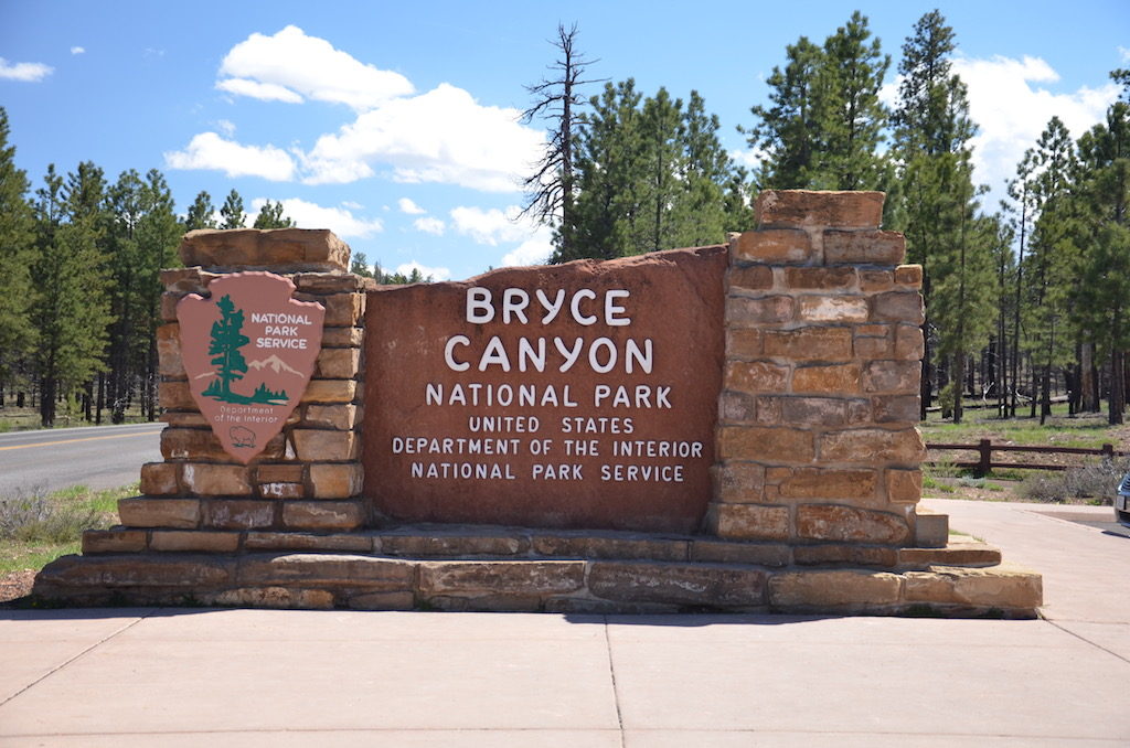
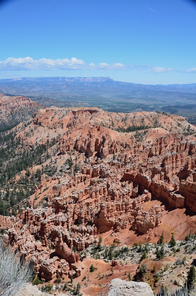
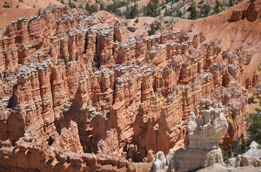
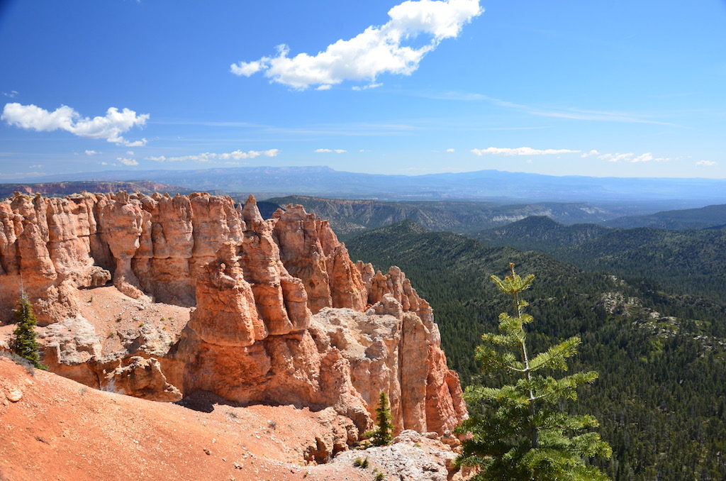
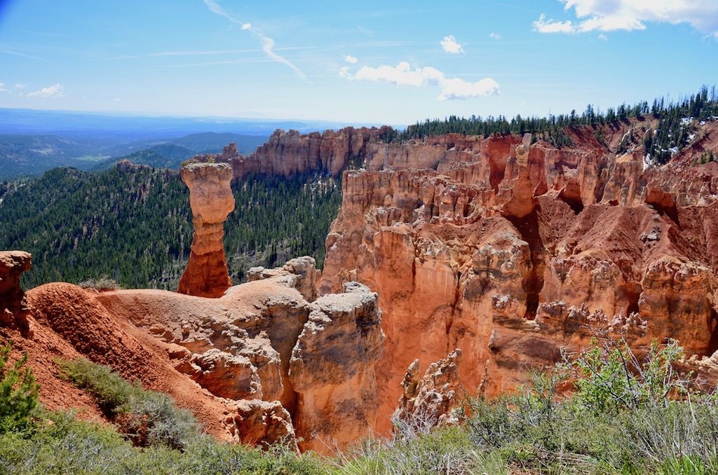
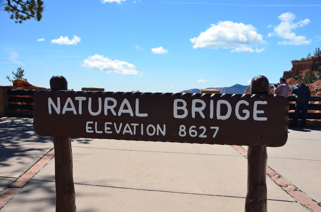
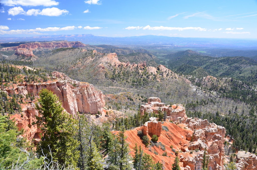
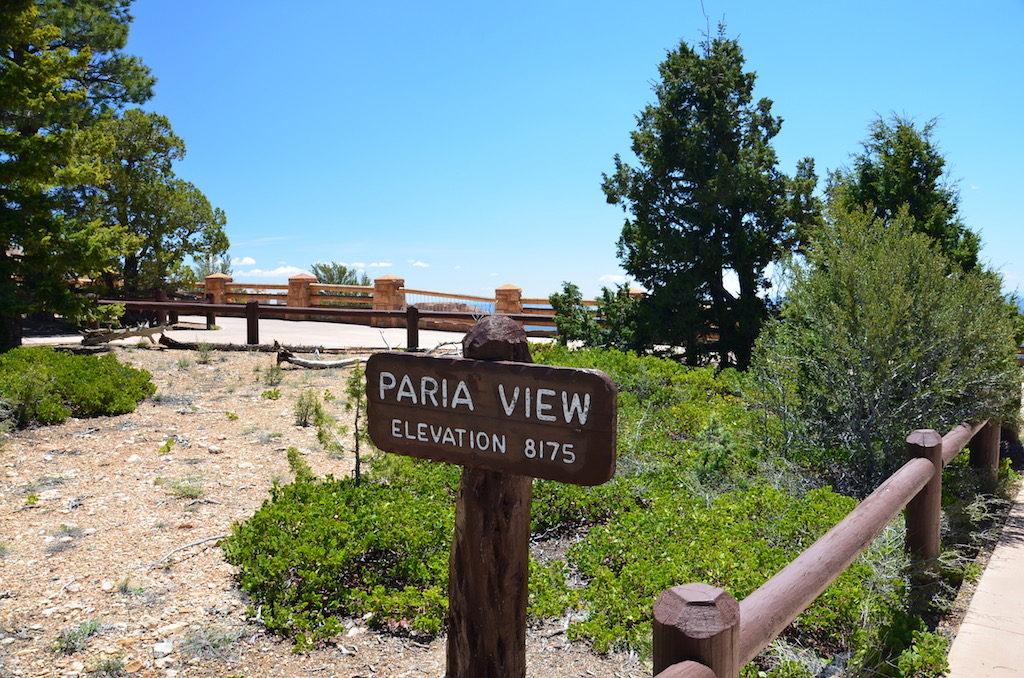
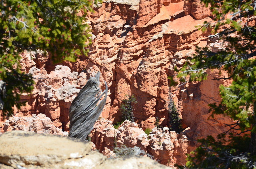
This and the following 4 photos are of the Amphitheater; a main focal point of Bryce Canyon NP. It’s so massive it’s impossible to get it all in one picture!
Is that ET?
This looks like cliff dwellings but it’s not; it’s all natural formations !
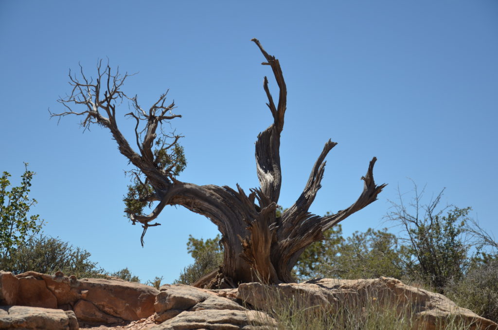
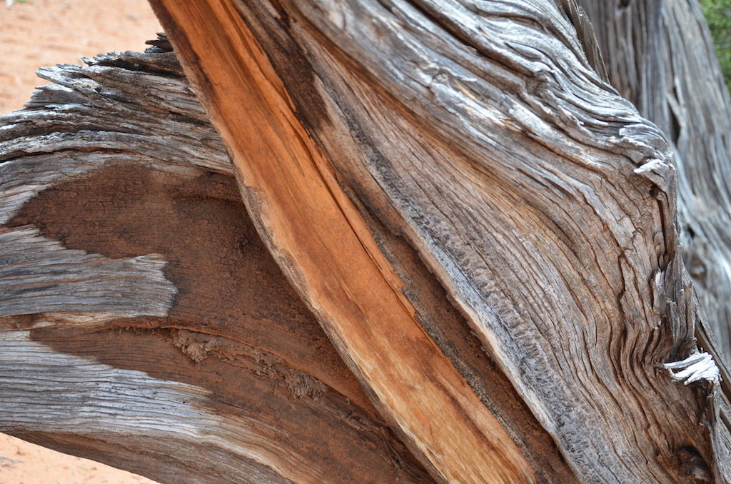
LOVE my dead trees!!!
Fairy Castles!
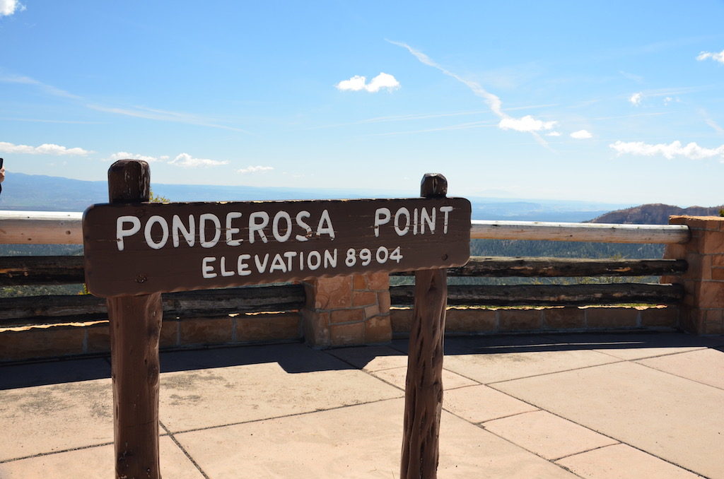
We had beautiful weather for our visit at Bryce, but the morning we left this is what we encountered! Snow and sleet from there until we reached I-70! FUN!!
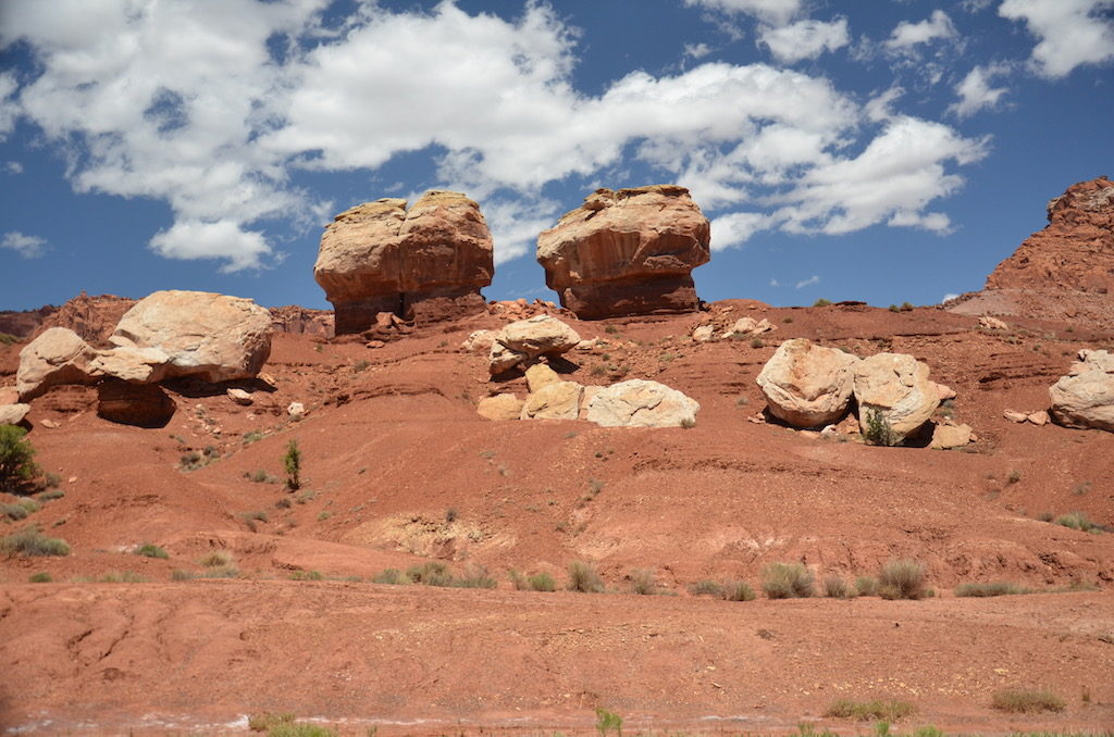
The first thing you see just inside the park is this aptly named formation; Twin Rocks!
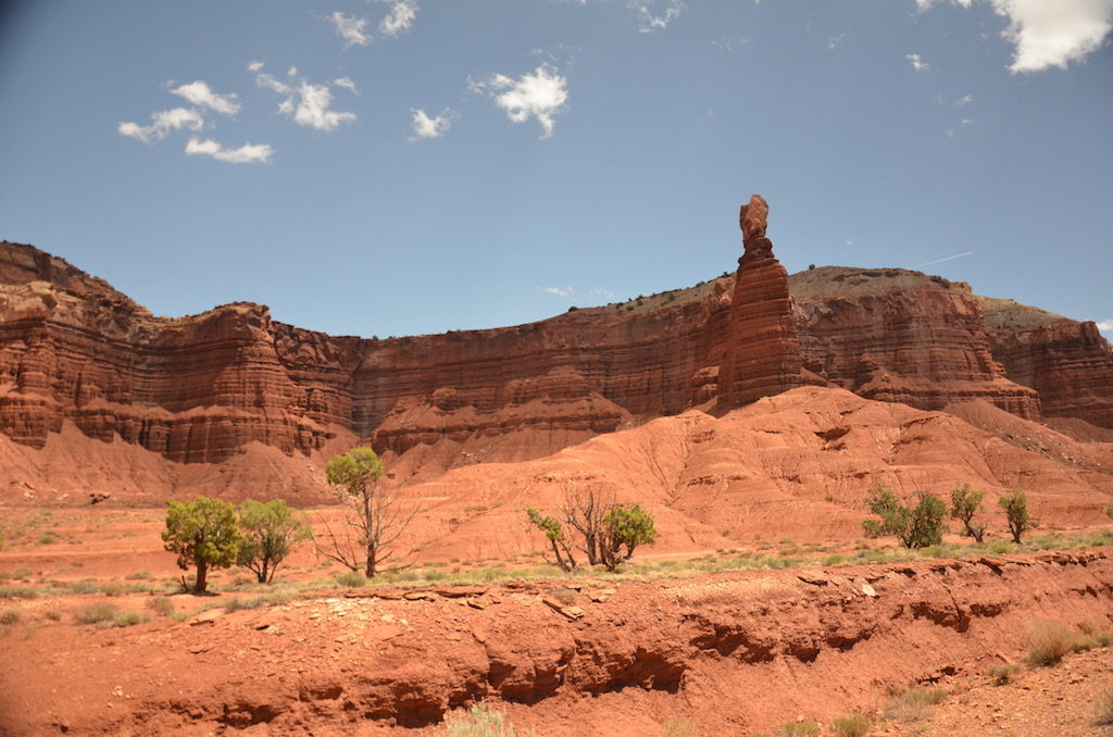
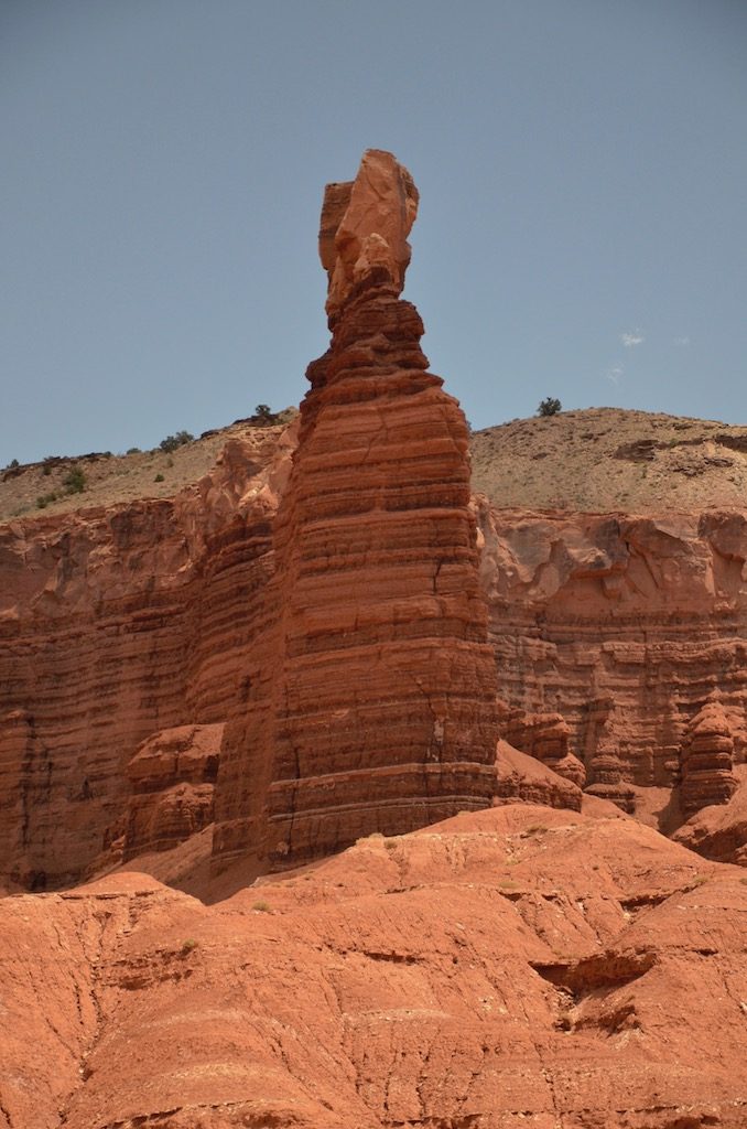
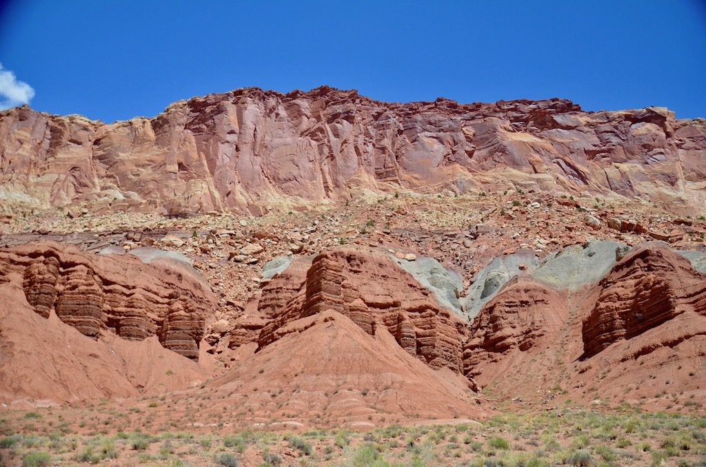
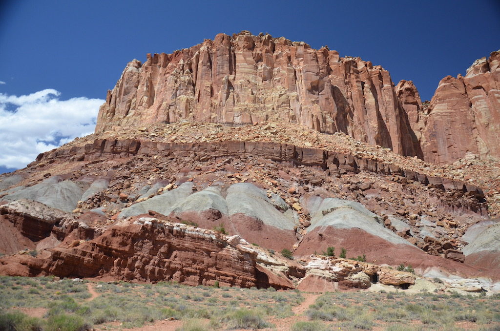
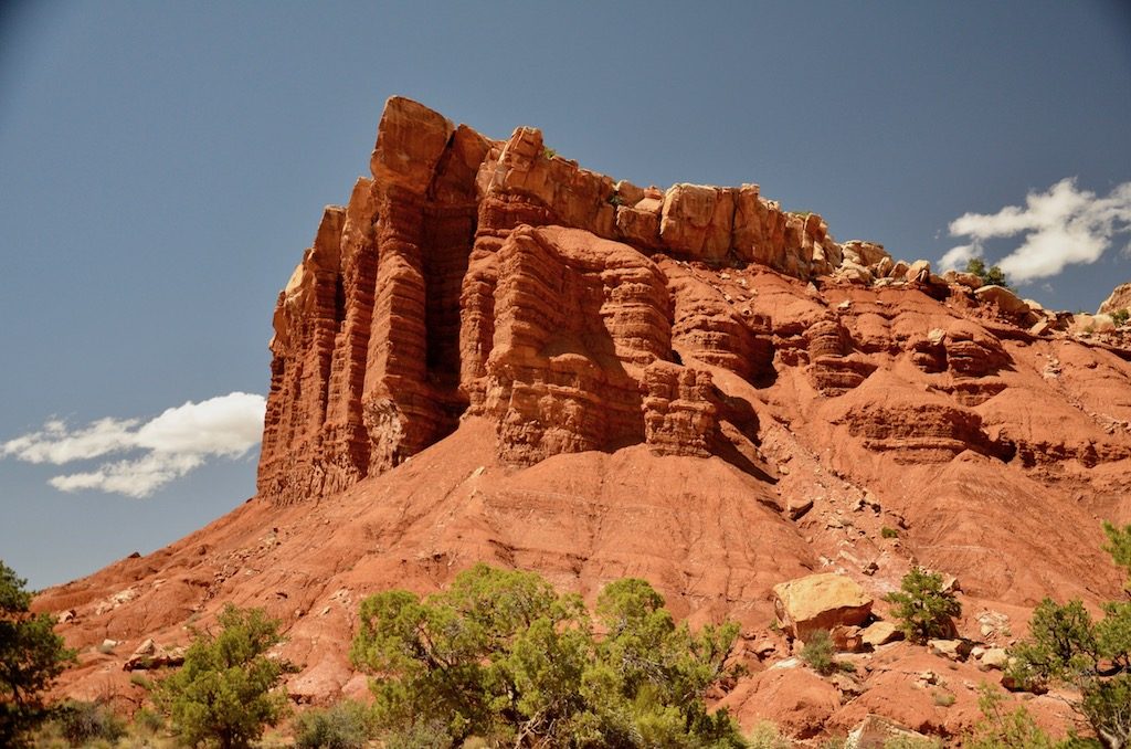
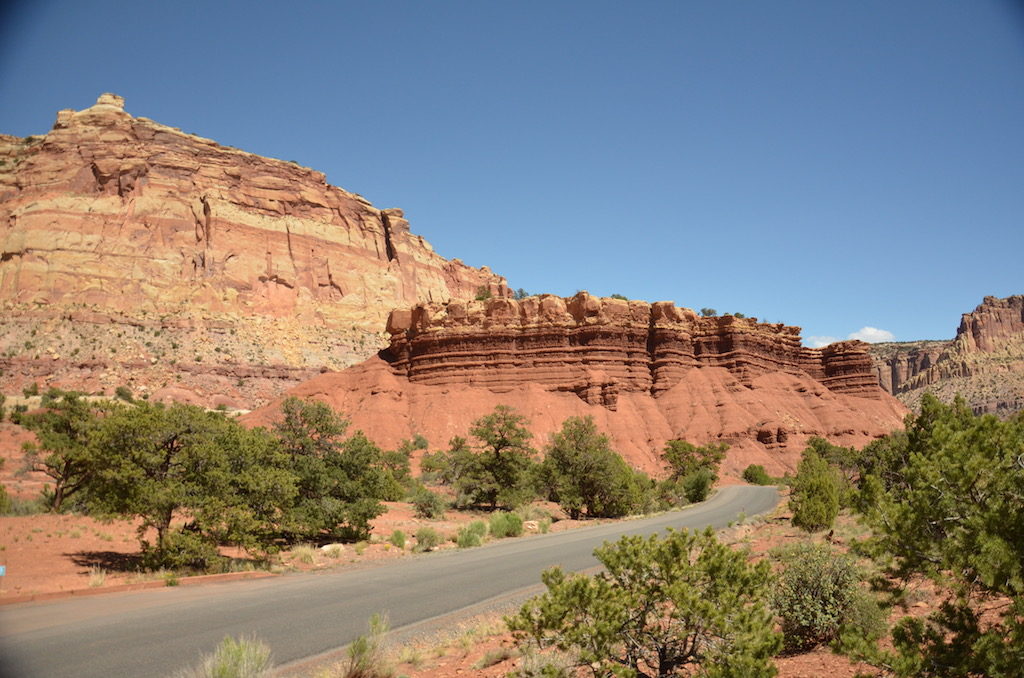
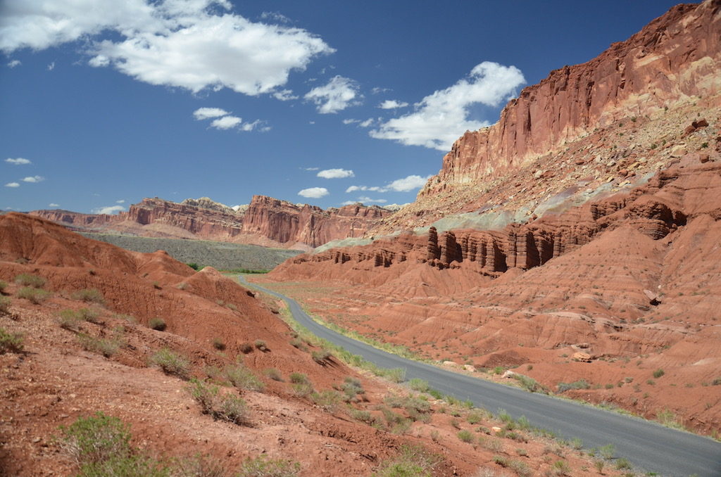
Millions of years of sediment and sand, just amazing!Amazing views in every direction!
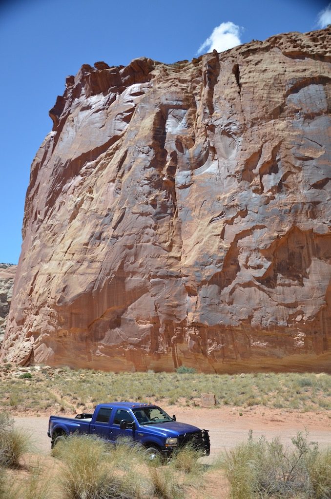
These formations make our F350 look like a mini-truck!
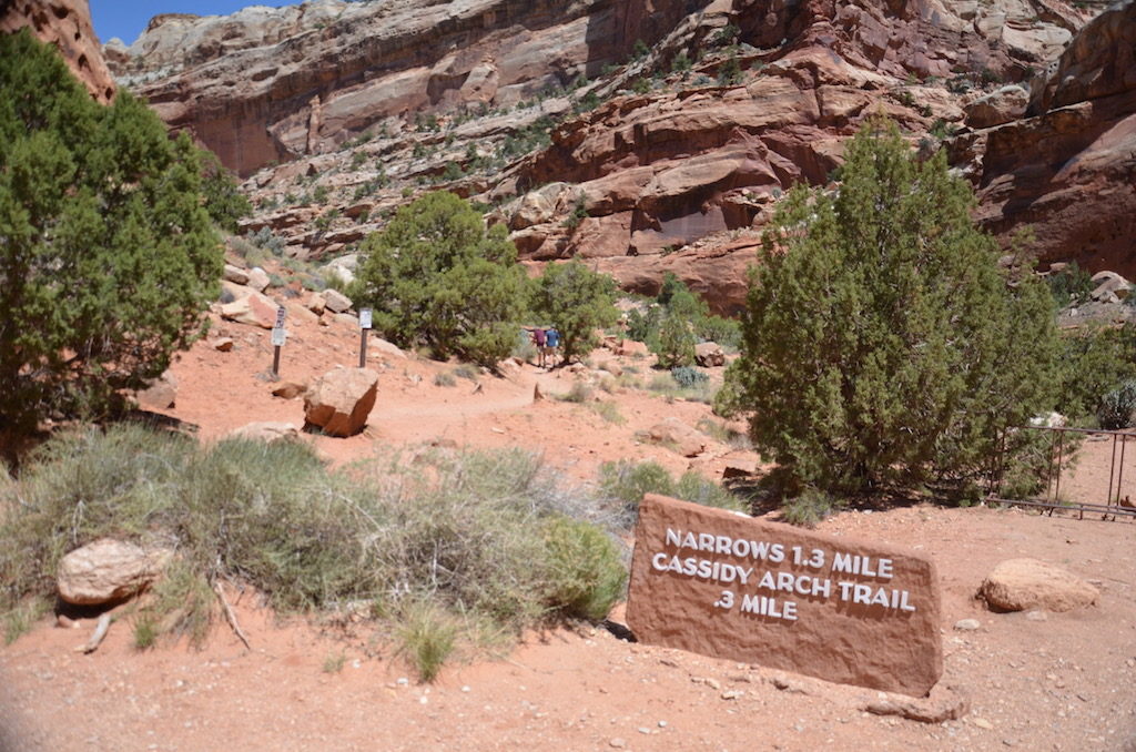
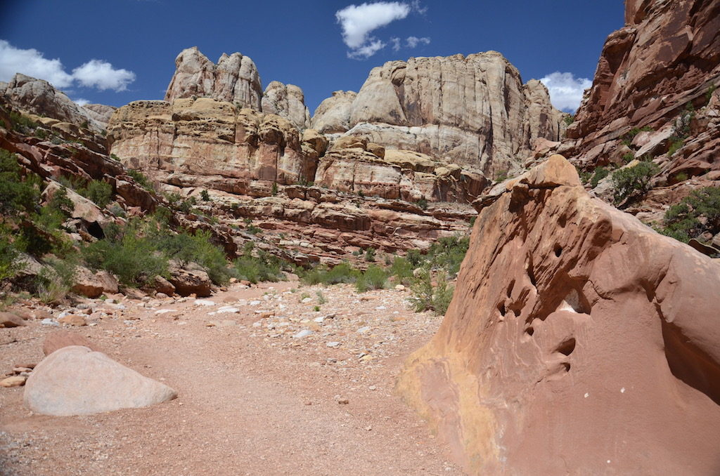
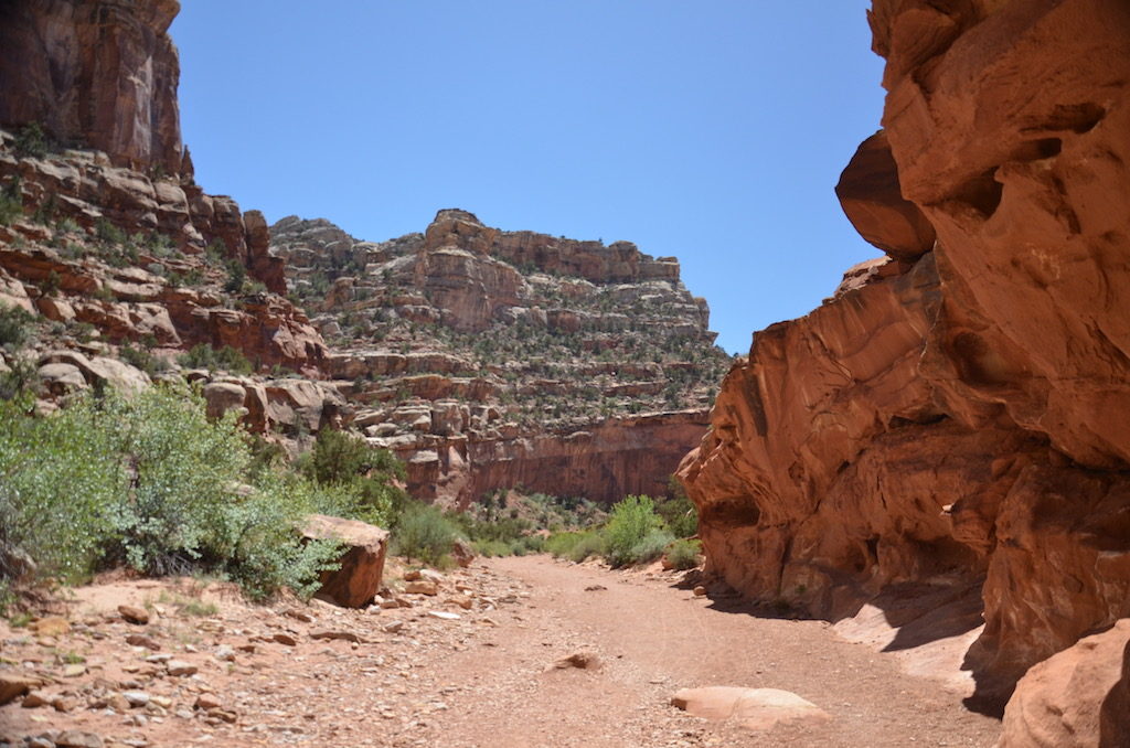
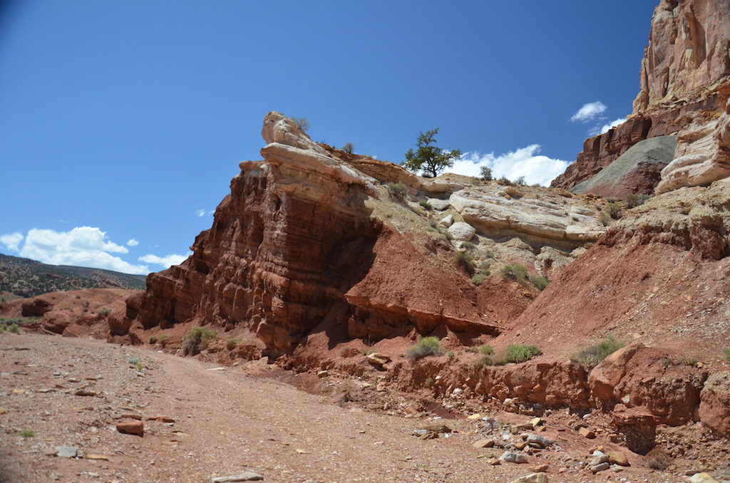
We took this dirt road to Cassidy Arch Trail. Butch Cassidy purportedly used this place as a hideout.
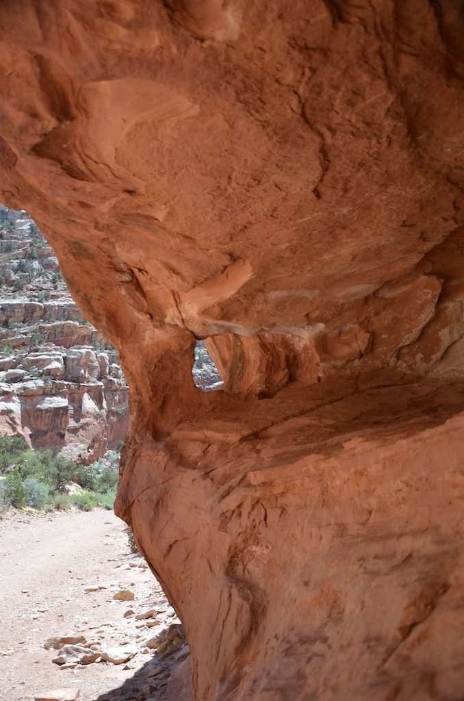
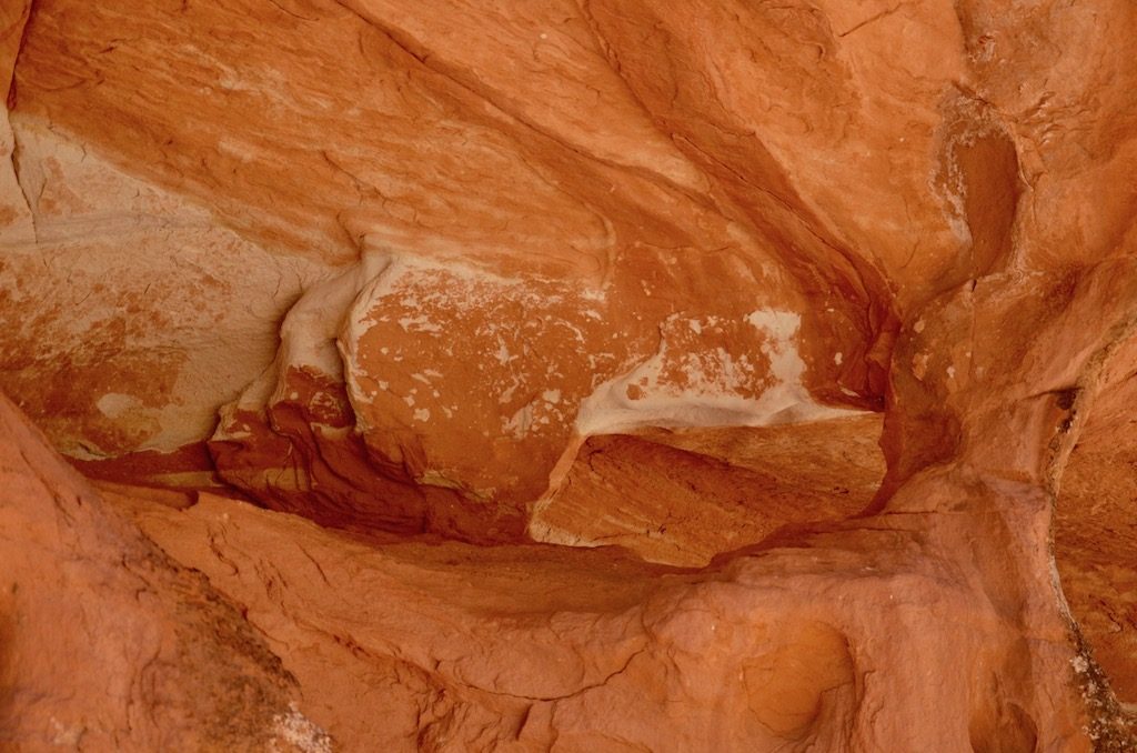
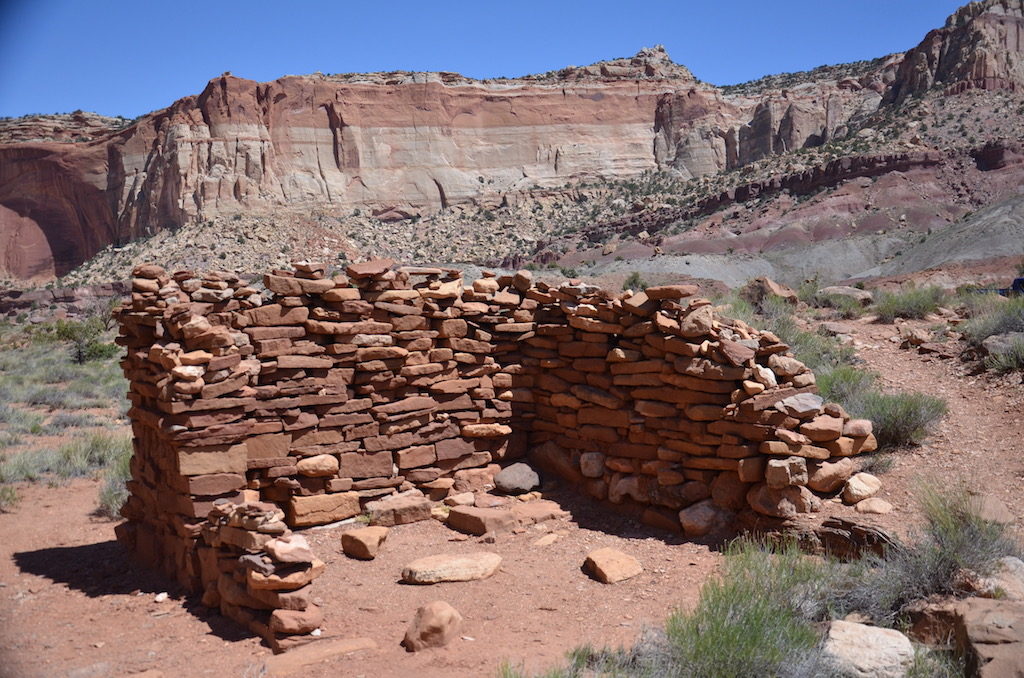
More roadside Mother Nature “rock art”There was also an abandoned Uranium mine from the 1950’s!
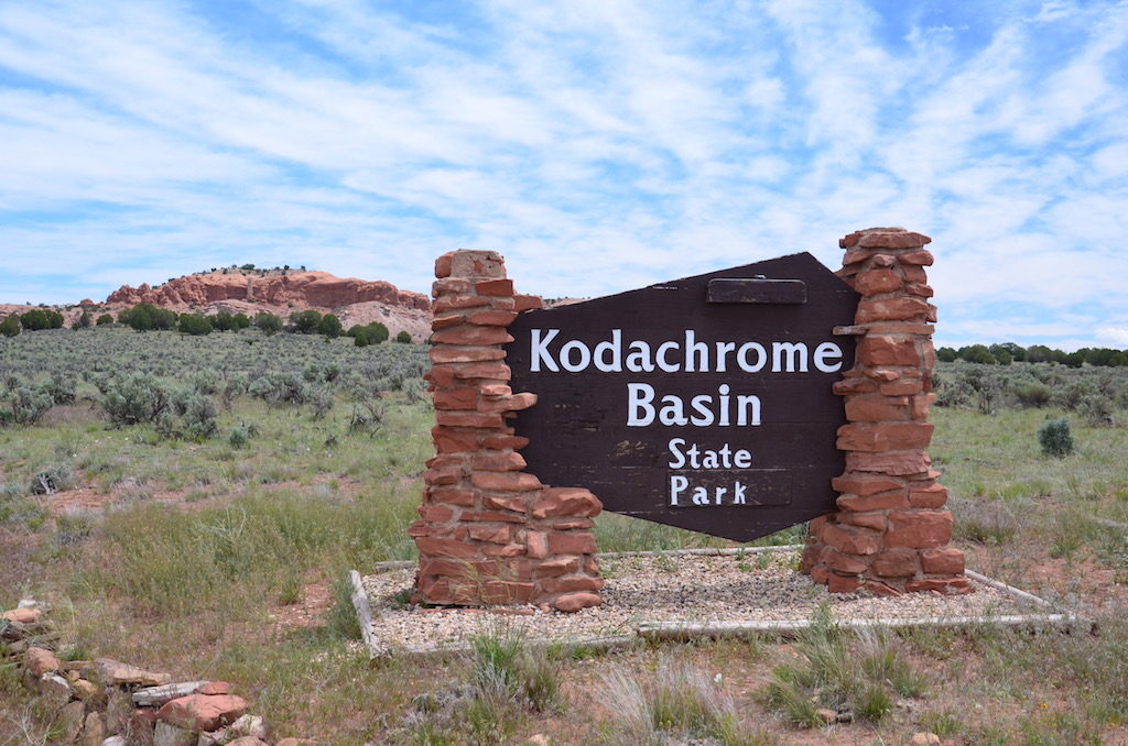
kodachrome state park
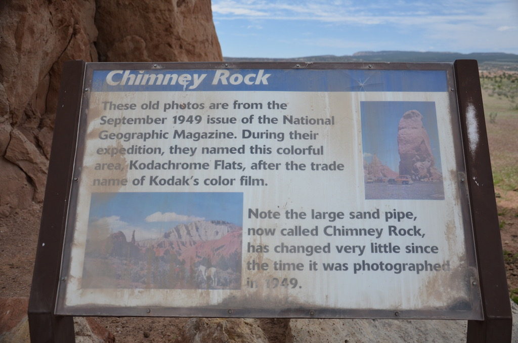
Chimney Rock is one of the first formations you see here. If you look closely at the photos from 1949 on this sign, it doesn’t look much different! (Unlike us humans from 1949!)It seems strange that this monolith is out in the middle of the field away from the rest of the rock formations.Some other formations seemed somehow familiar 🙂These were everywhere! It’s no wonder the Mormons have so many kids!
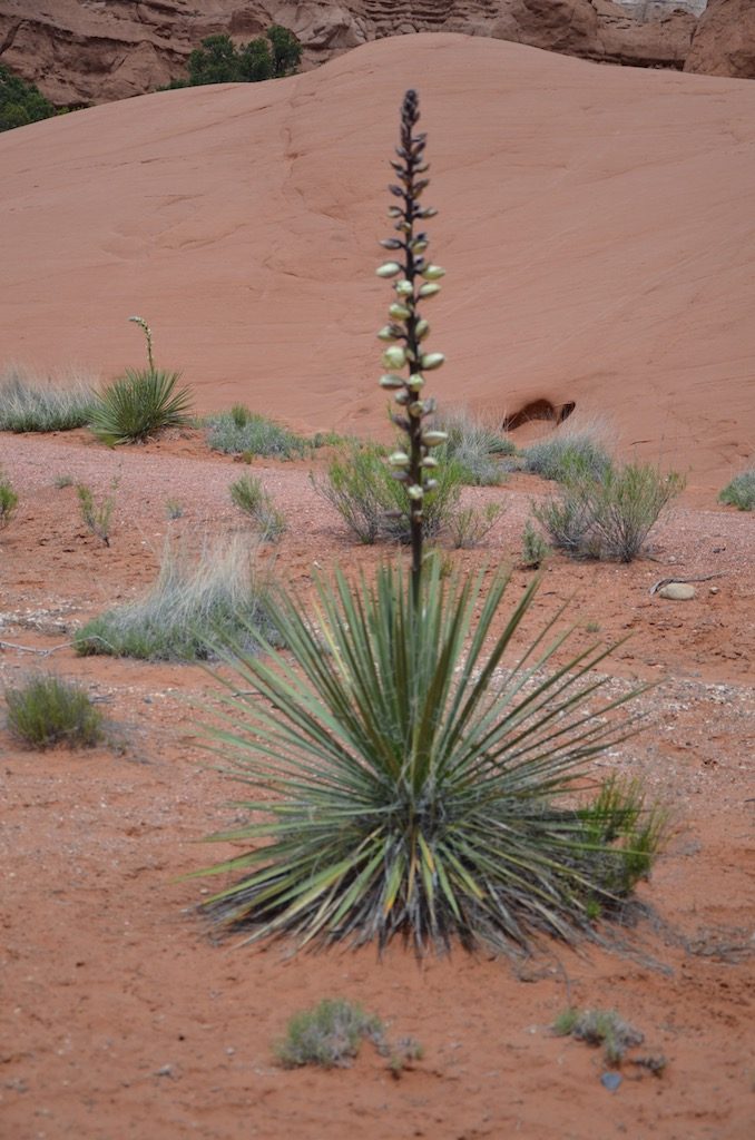
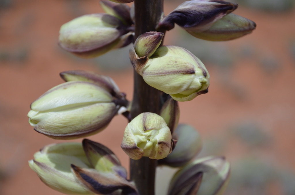
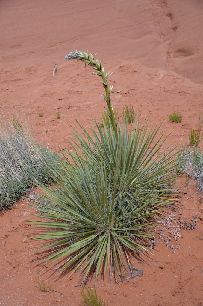
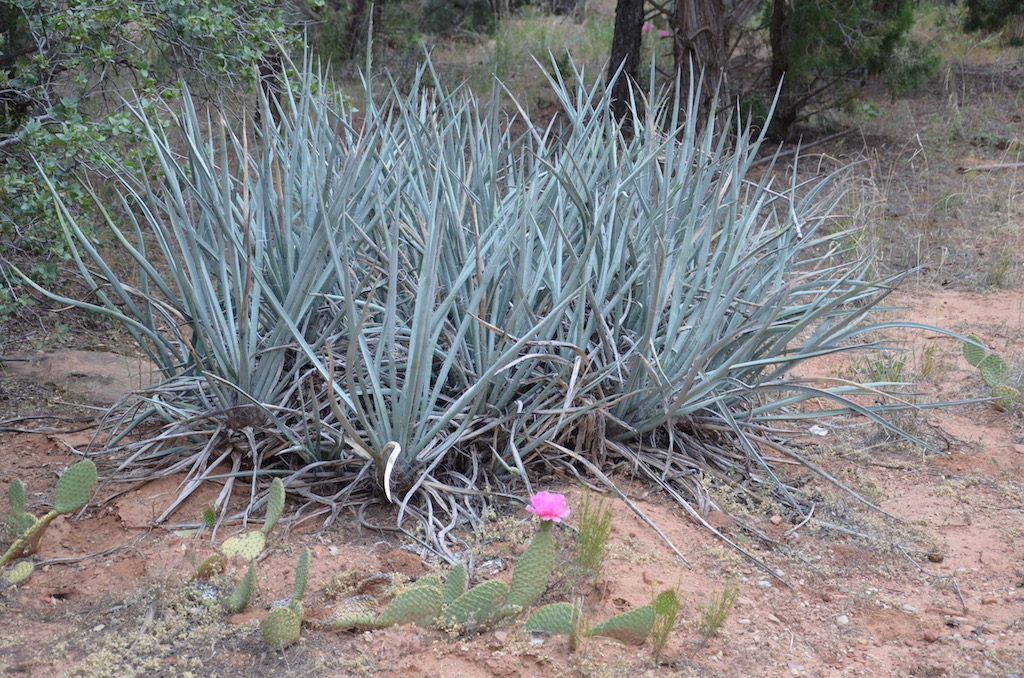
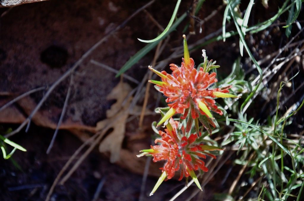
The Yuccas were still blooming.
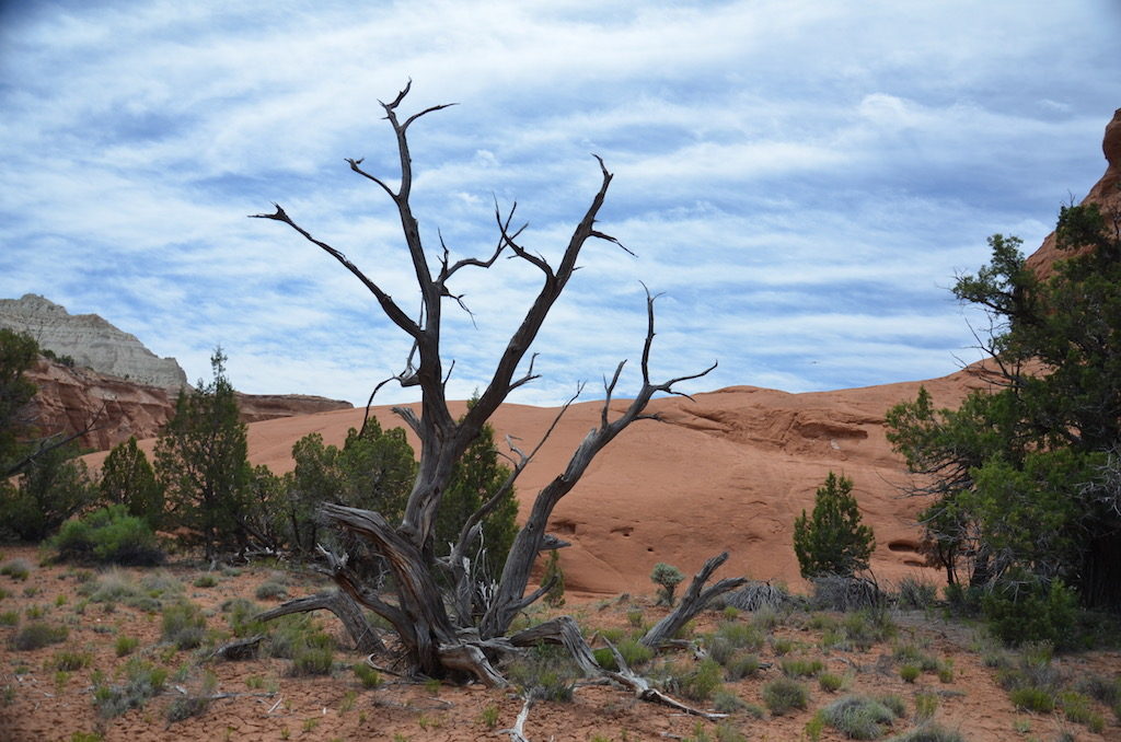
And, of course, they have dead trees too!Even the dead trees have beautiful patterns and colors just like the rock formations.And for my Gin loving friends (TOM!) Juniper berries were plentiful!
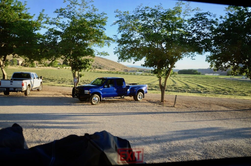
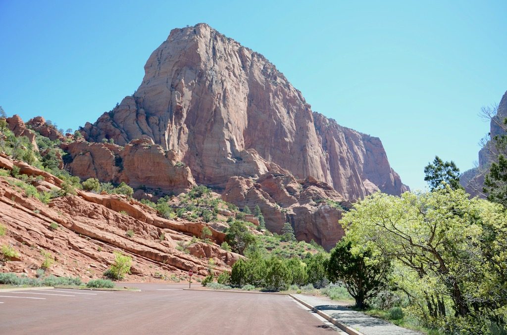
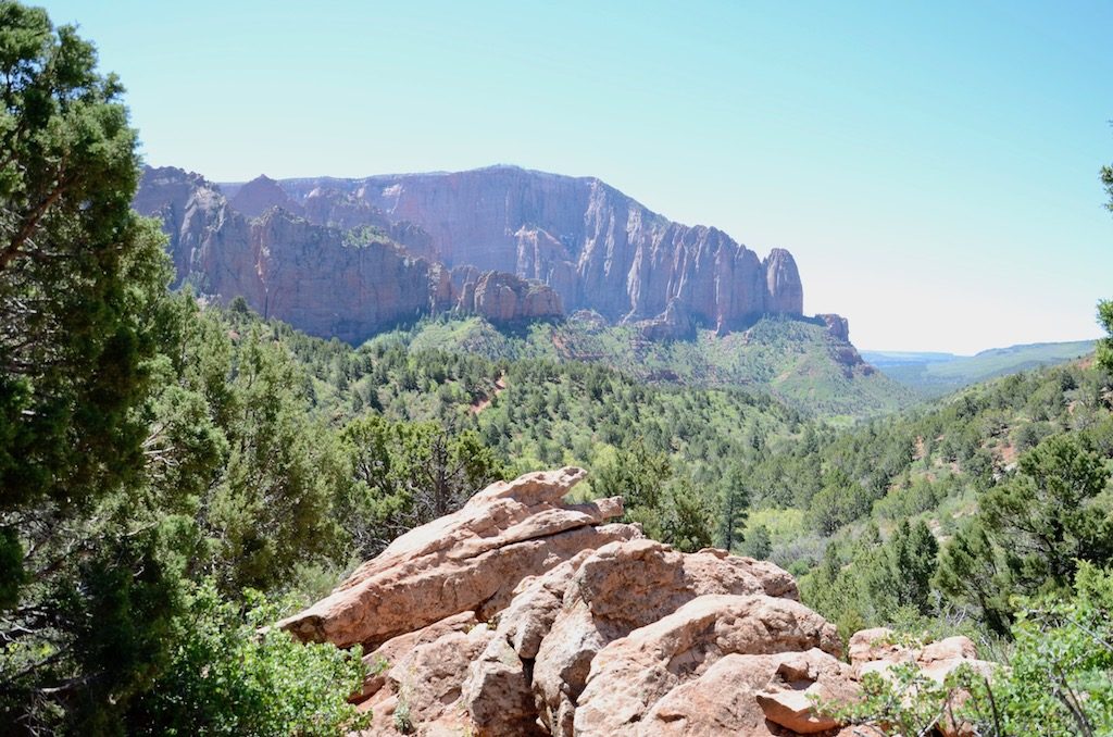
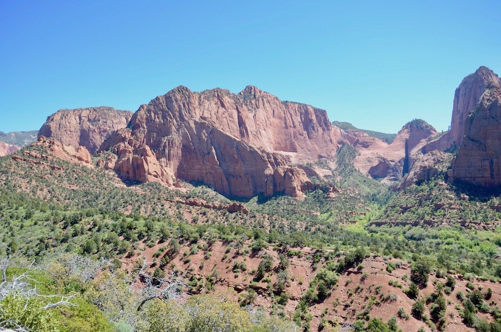
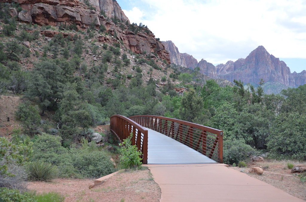
The view out our back window to our “back yard” for the week here at Zion West RV Park just outside of Zion! I even got a shady spot to park Big Blue! When we arrived this Alfalfa field was not cut yet. He did it t late that afternoon and into the evening, finishing by headlights well after dark.We watched a couple days later as they bailed the entire field of Alfalfa.He’s about to pick up the last bail just before sunset. Hey, free entertainment watching other people work hard!Our first day out we visited Kolob Canyons at the north entrance of Zion; an area most people don’t visit according to the rangers.
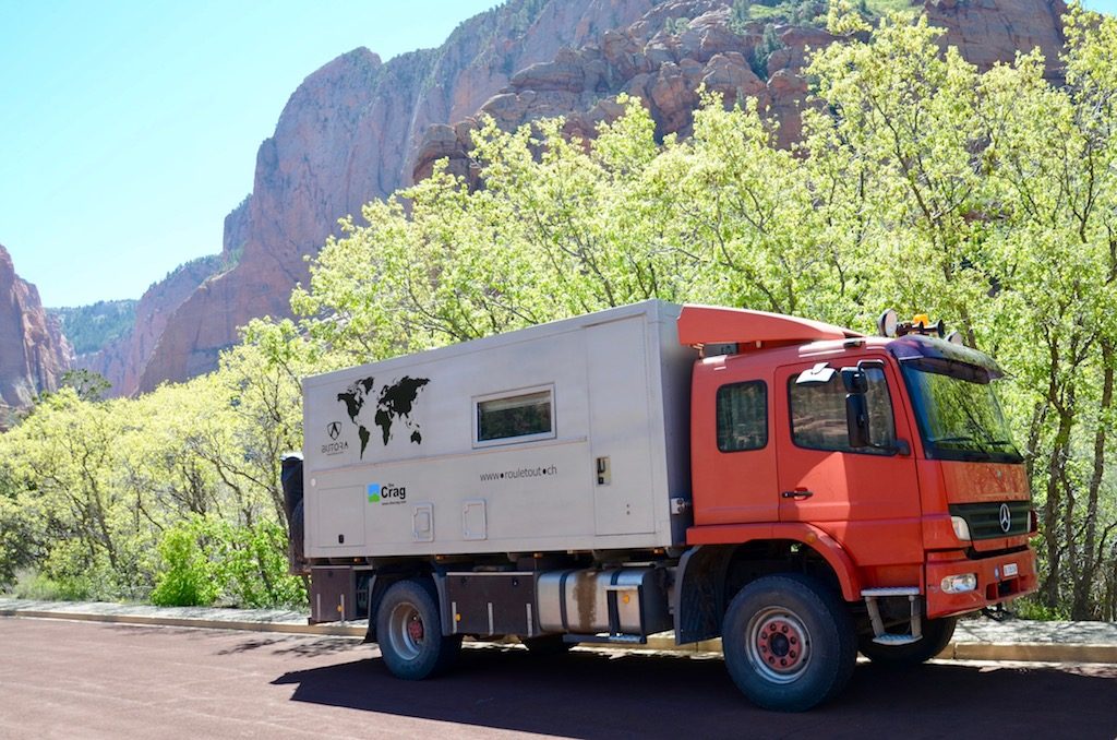
While visiting our first spot here we saw this camper. It had German/European plates on it; looks like it would go just about anywhere!
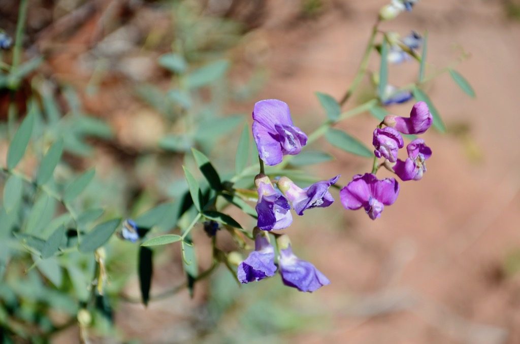
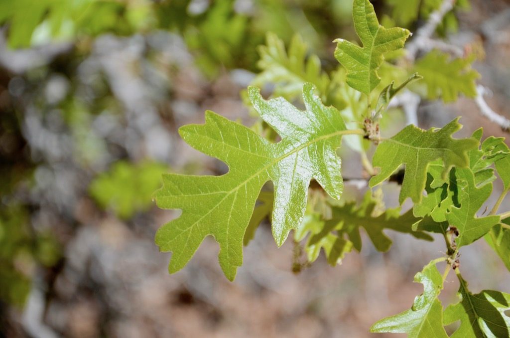
This “cracked egg” rock was right by the parking lot, pretty interesting! From what we read and heard freezing water causes this.And, of course, more spring flowers!And brand new leaves on the trees.We did this short hike to an overlook.The trail upInteresting idea to allow water to drain without flooding the walkway!
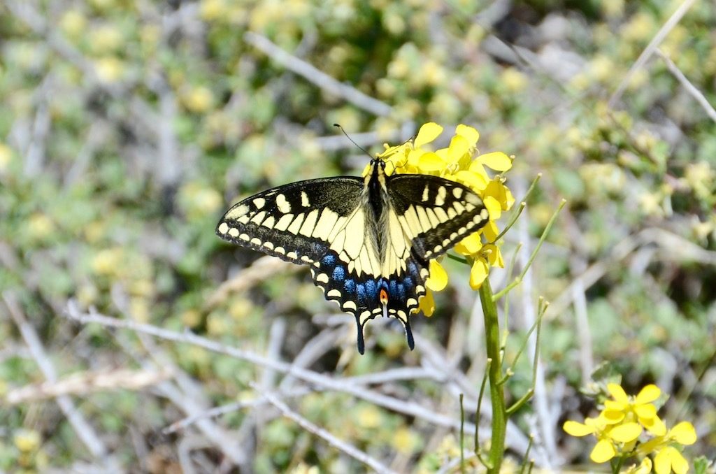
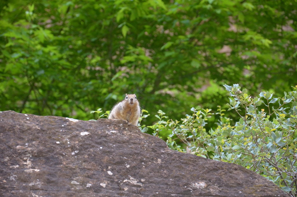
Wildlife!
At the top!What can I say, I have a fascination with dead trees! Notice the snow capped mountain?
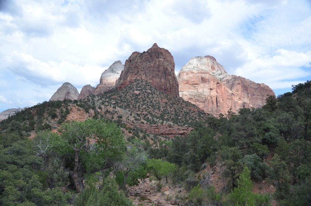
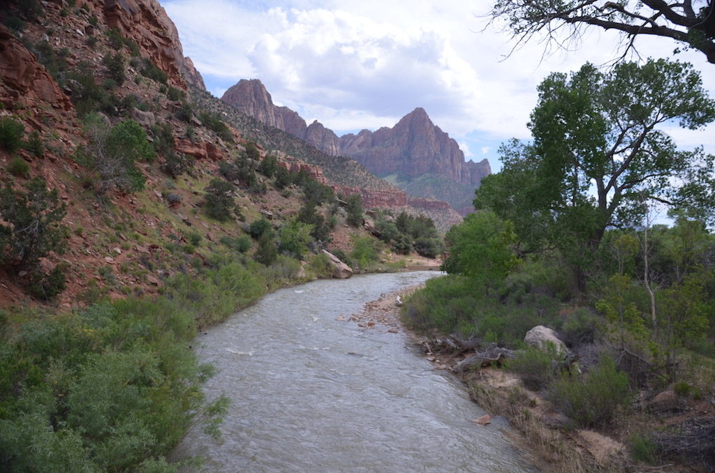
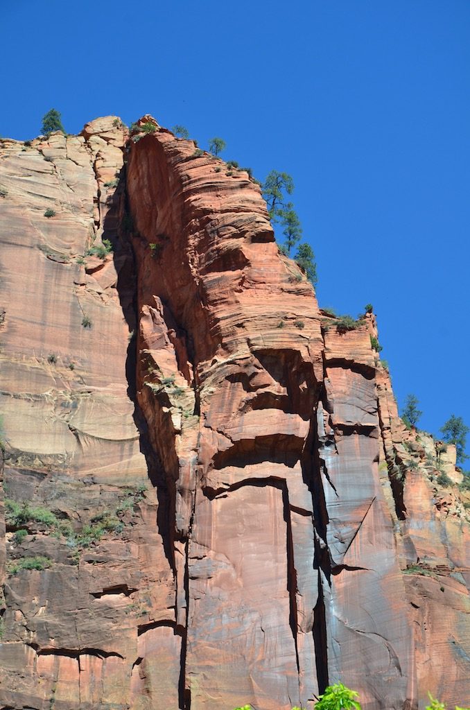
For the next 3 full days we visited Zion proper.The Towers of the Virgin.The Court of the Patriarchs.
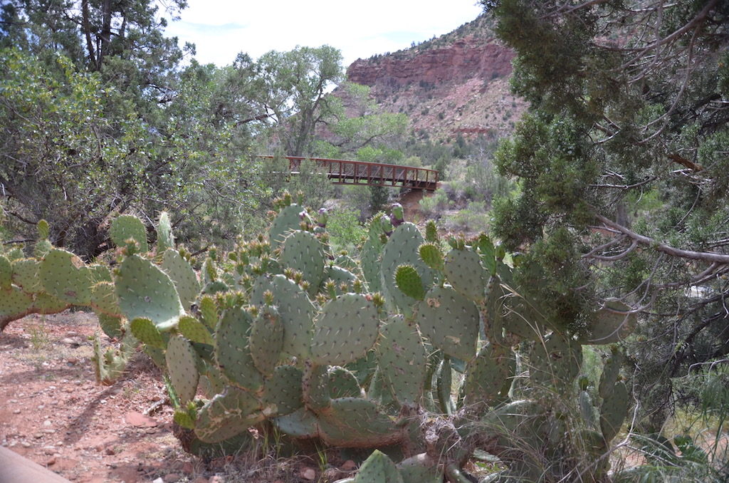
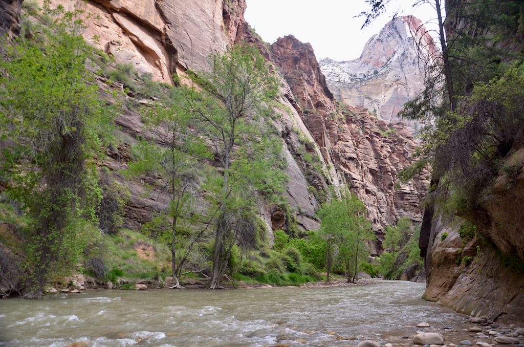
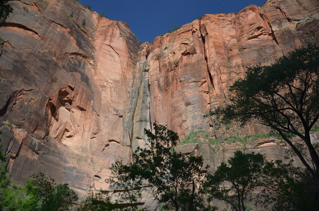
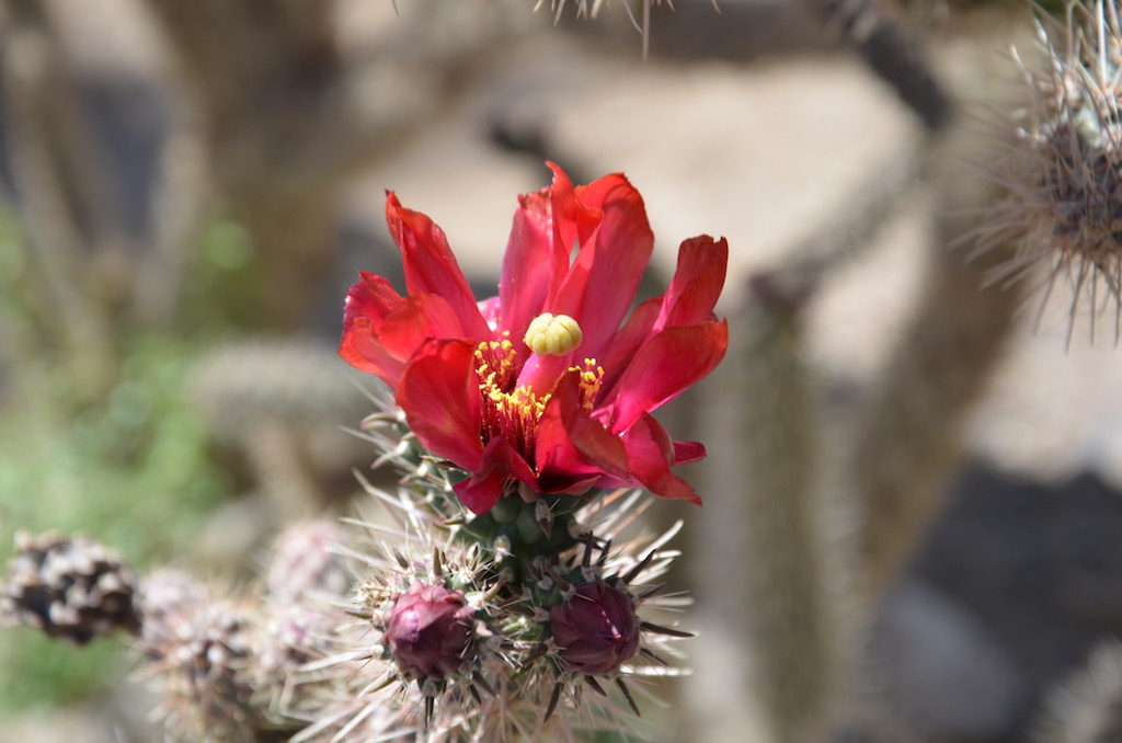
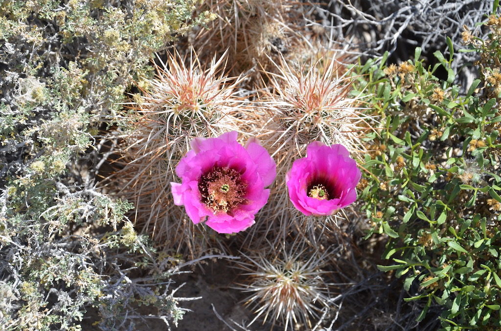
The Virgin River was flowing very fast & full; so much so that The Narrows (pictures later in the post) were closed beyond the paved walkway.We took the tram to the third stop in and walked the paved trail back to the Visitor’s center along the river.The views along the way were incredible at times!Among all the lush greenery were blooming Cacti!
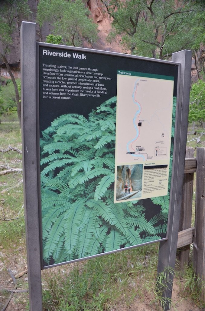
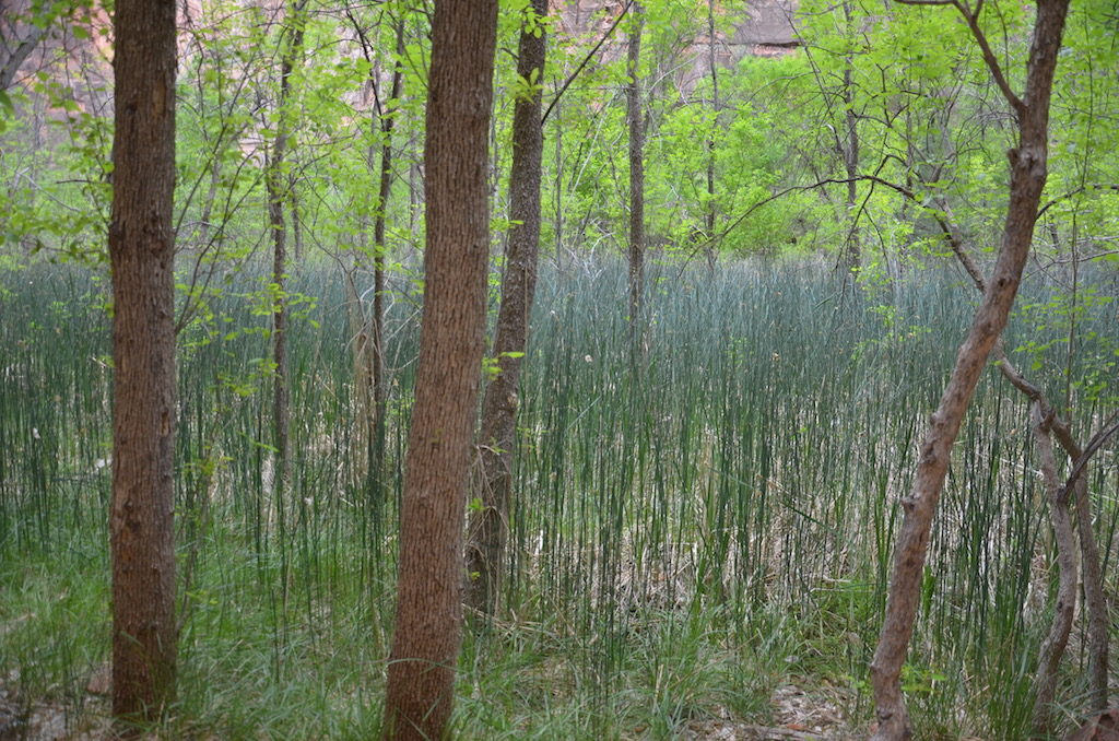
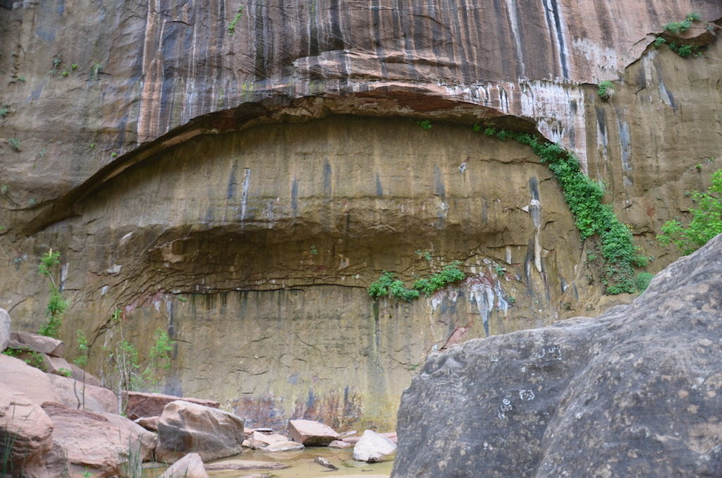
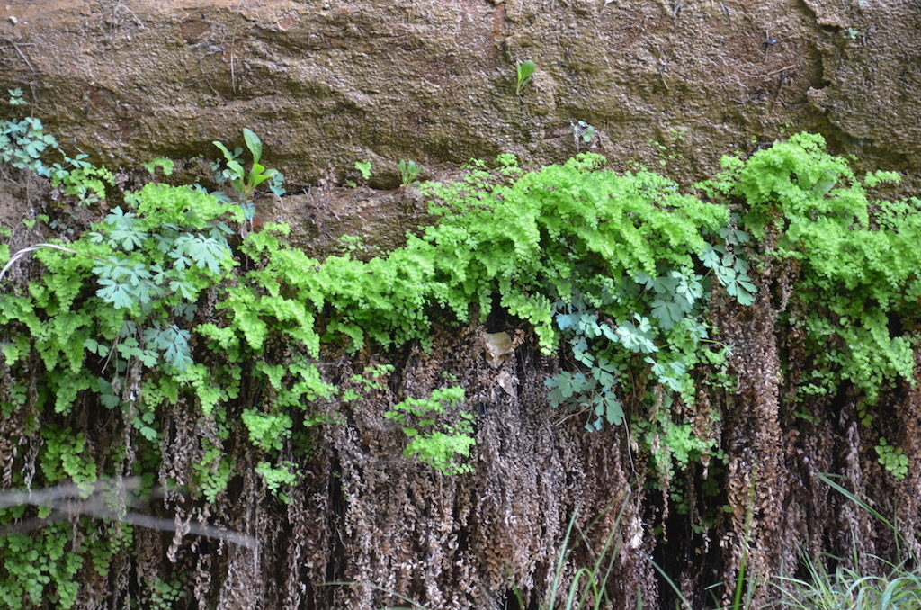
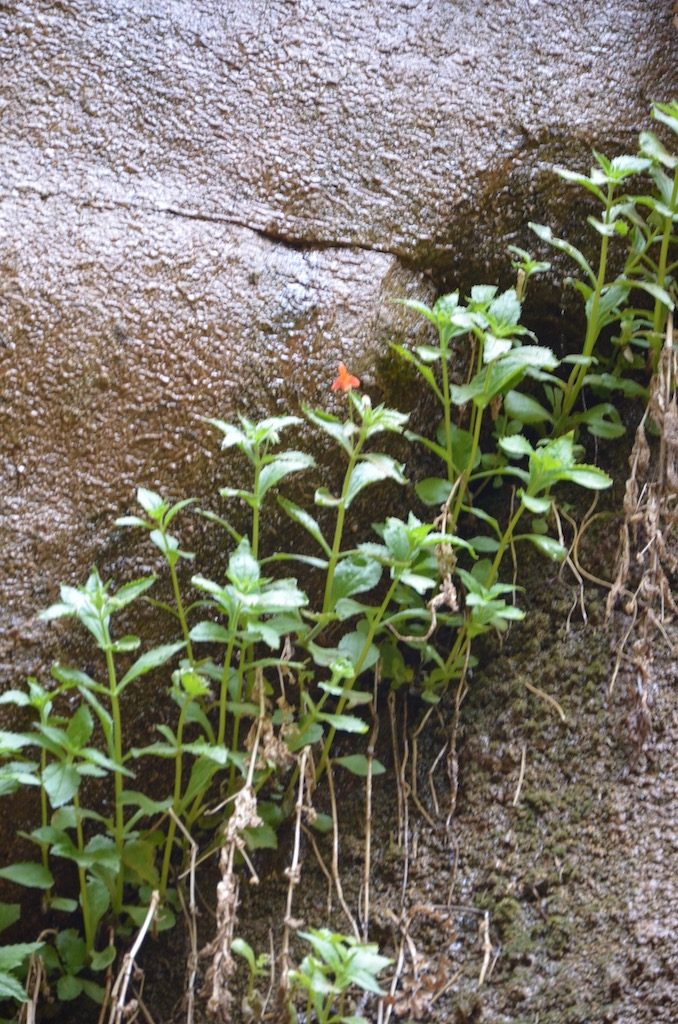
We also did the river walk to The Narrows; which, I mentioned before, were closed beyond the paved walkway. Still a beautiful walk; 2 miles round trip.Interesting ecosystem; there were even these swamps along the way!Looking down towards the narrows.Weeping walls!Flowering plants growing out of the cracks in the rocks.
This little guy was very vocal; wanted us to feed him or go away I guess!Rich should remember this picture ; his mom and I took the same one years ago!
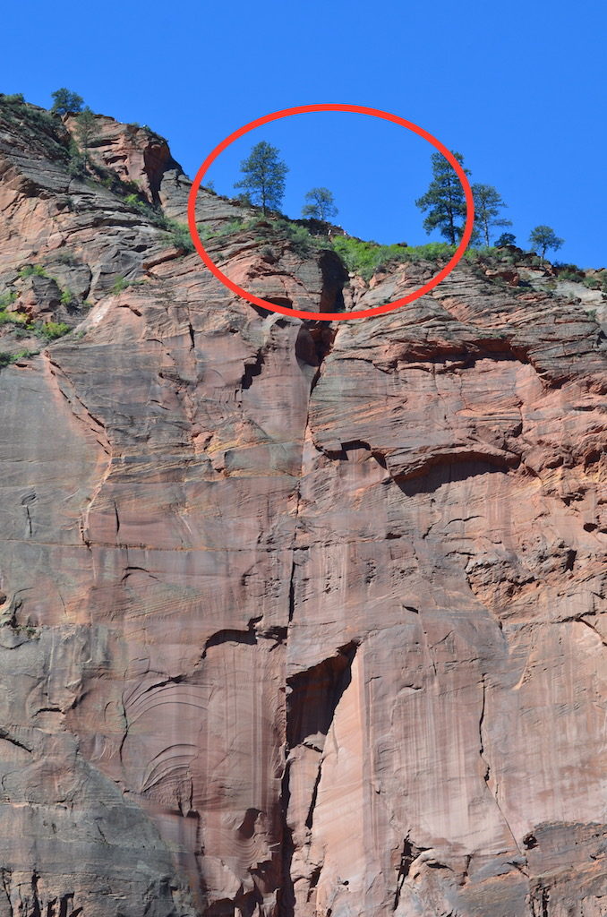
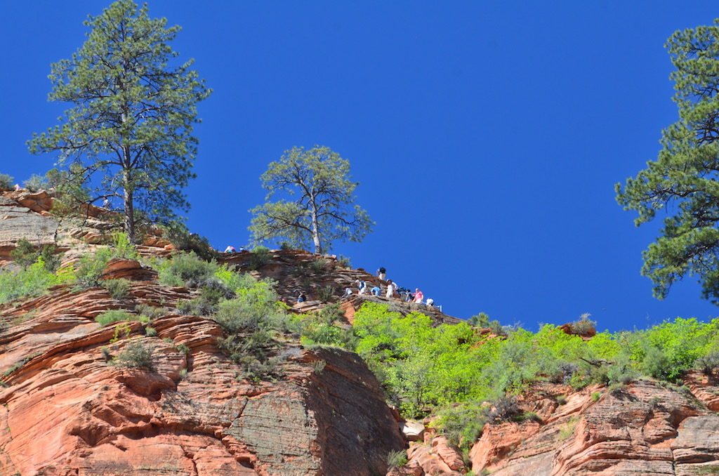
Time to turn around!One of the big draws for thrill seekers (NOT us!) was Angels Landing. It’s a 5 1/2 mile round trip “hike”up 21 switchbacks followed by walking a narrow ridge (with a chain to hold on sometimes!) with huge drop-offs on both sides to reach the top. The name comes from the belief that only angels (and idiots?) could land there!“The idiots I mean hikers”
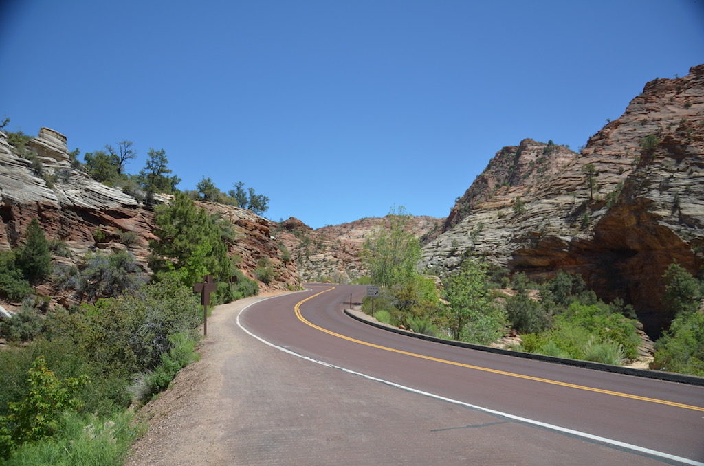
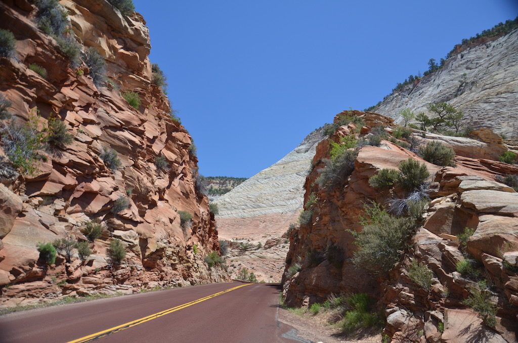
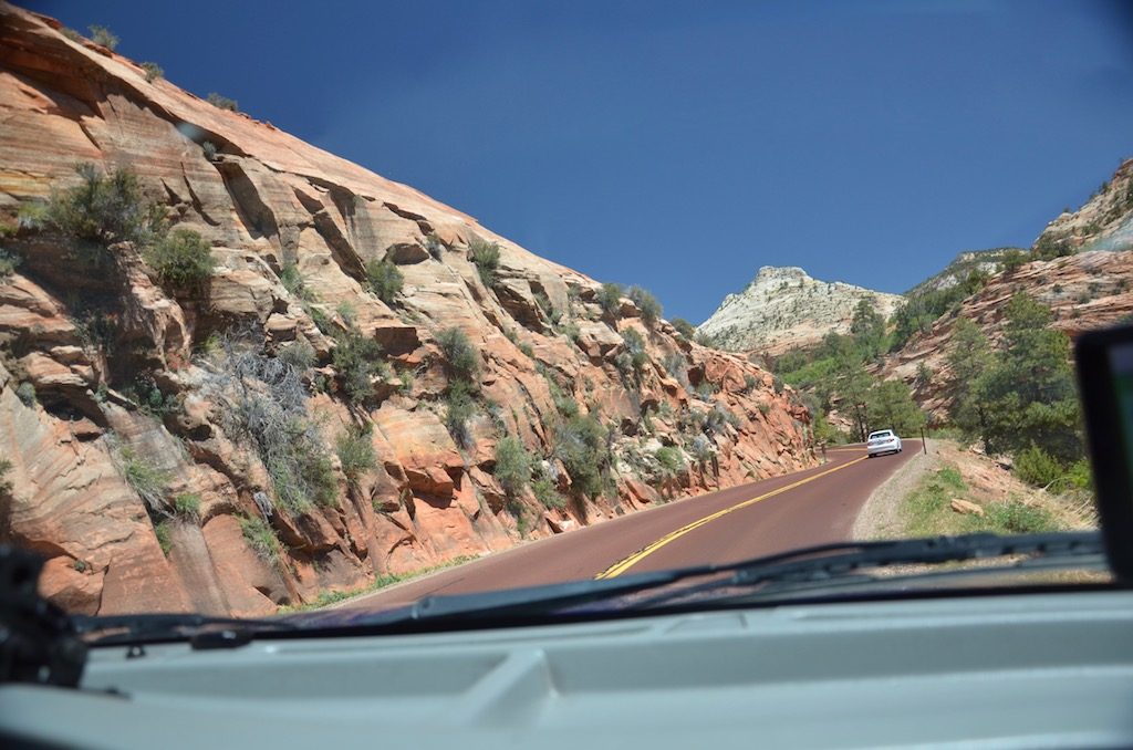
One of our 3 days in Zion, instead of taking the shuttle through the park we took the truck and drove Utah State Route 9 through the Zion-Mount Carmel tunnel. Since there are size restrictions we needed to buy a special pass to take Big Blue through (any vehicle 7’10” wide or 11′ tall ). They stop oncoming traffic so you can go down the middle of the tunnel (for a fee of course)! Remember it was built before large vehicles and motor homes existed!Here we go through! The tunnel is 1.1 miles long.Beautiful scenery all along this road!
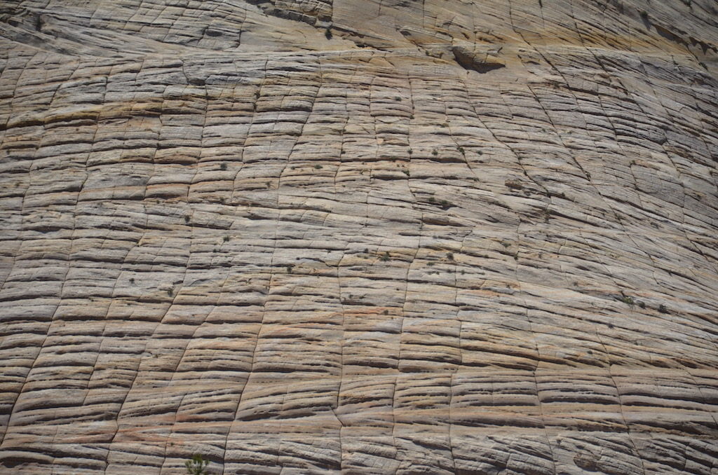
Don’t get a flat or break down here!This mountain is called Checkerboard Mesa for obvious reasons.Amazing; and all done by nature!
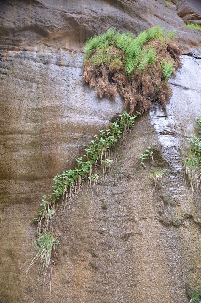
Coming back you can see one of the three windows cut into the tunnel wall.The view from inside the tunnel through that window.These flowers just growing out of cracks in the rock amazed us!
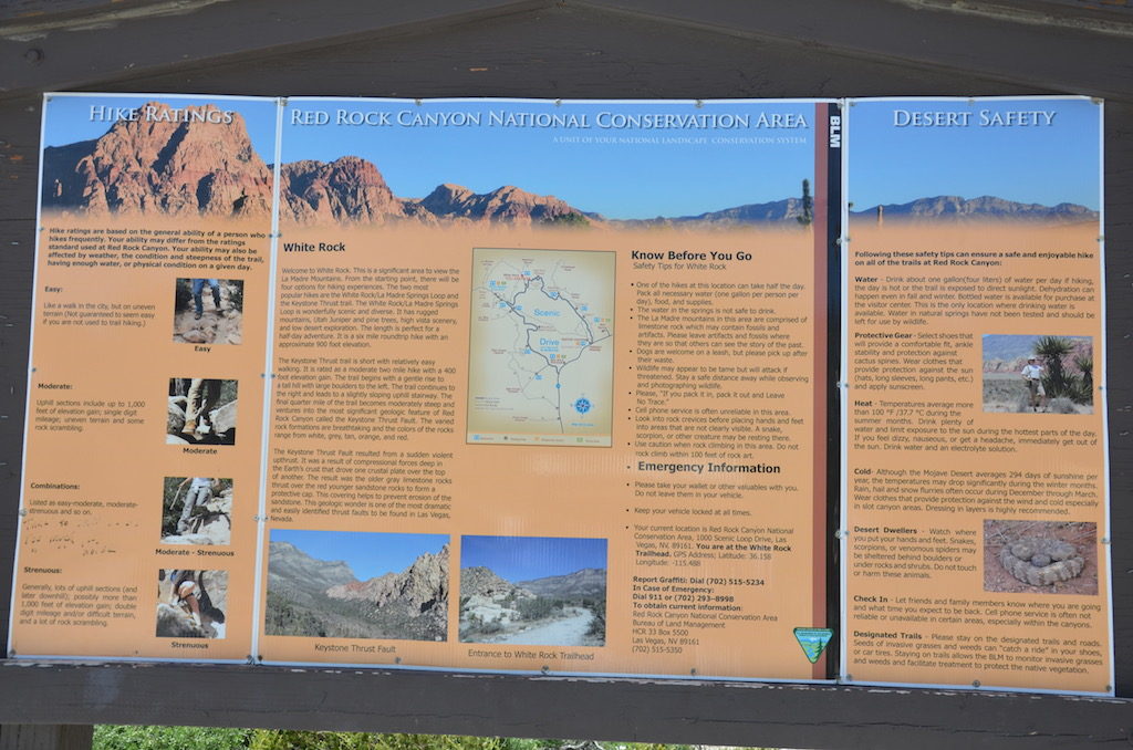
red rock canyon national conservation area near las vegas
It’s pretty obvious why the name Red Rock Canyon!
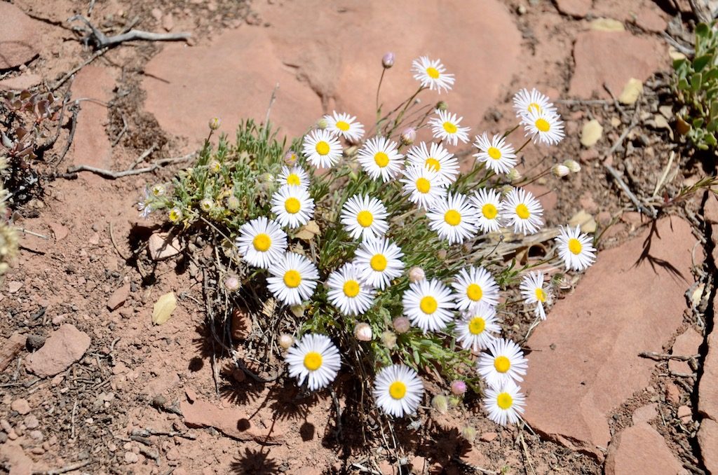
Some of the spring flowers near the picnic area we were using
One of Jan’s favorite pictures; mine too!
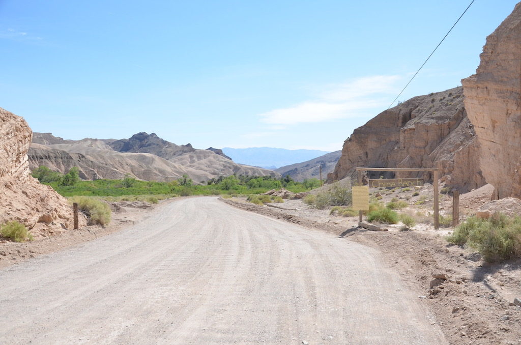
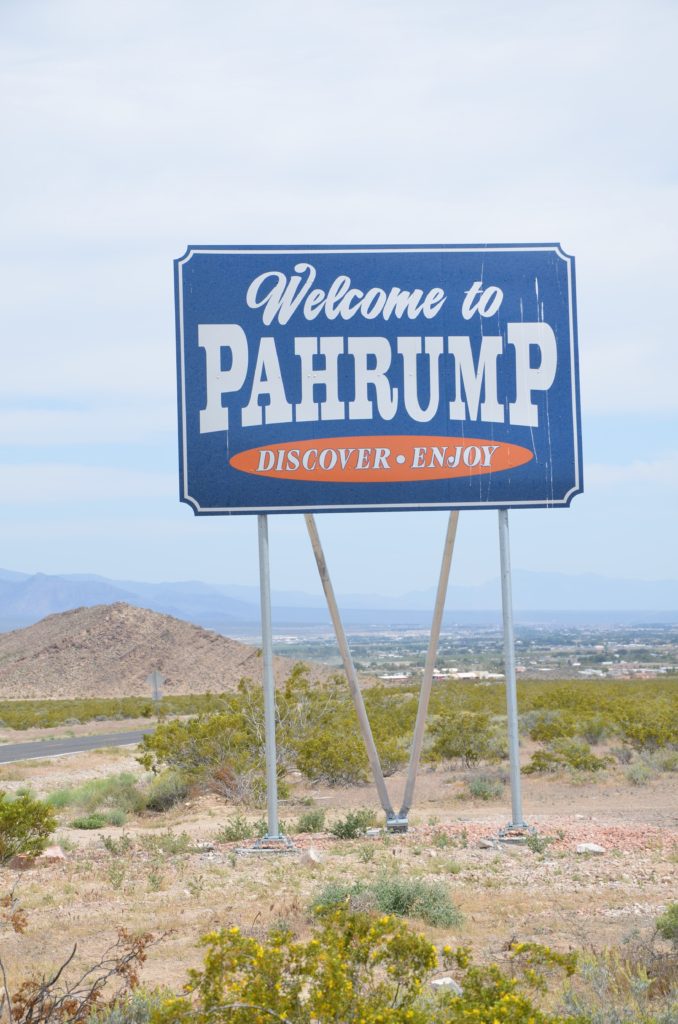
china ranch date farm- another day trip from pahrump
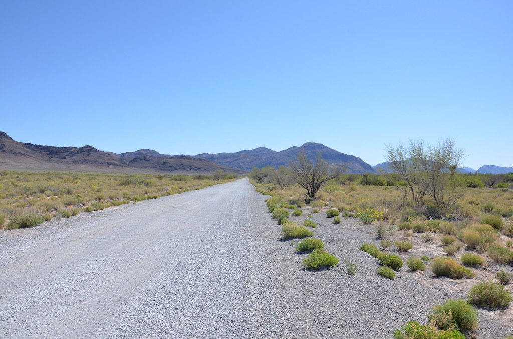
There was this dirt(gravel) road for about 5-10 miles to get here
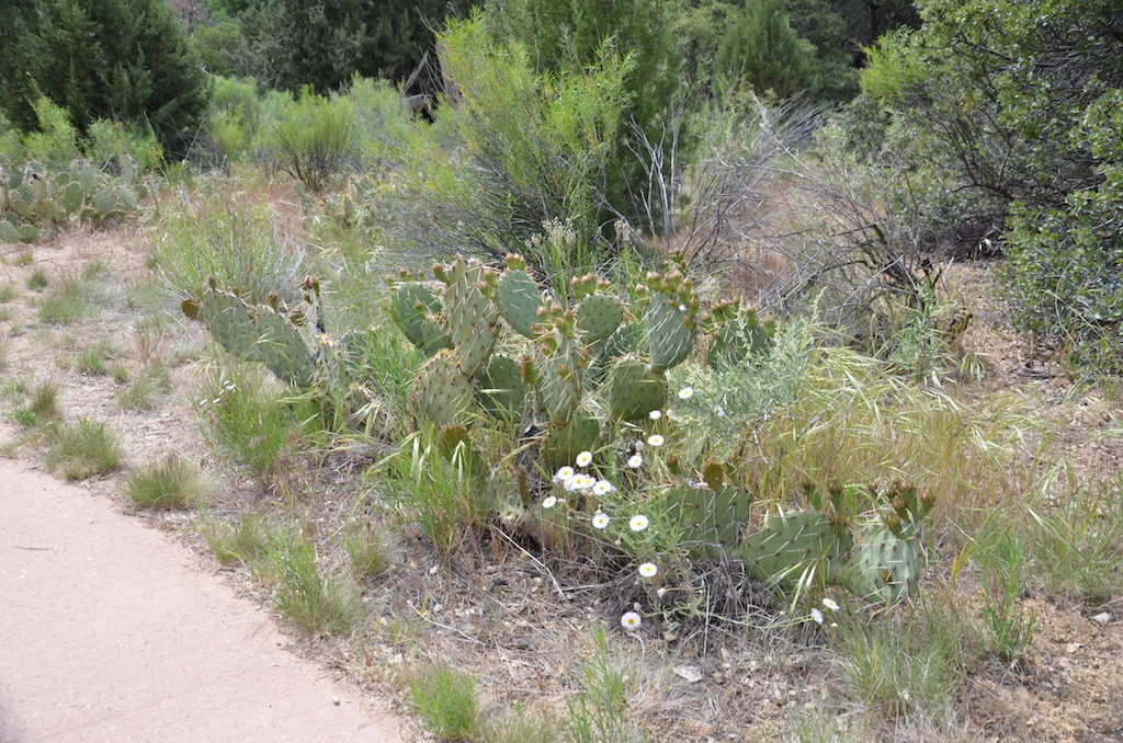
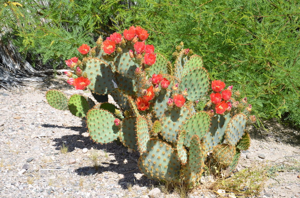
Nice cactus garden next to the main building that housed the equipment to process the dates.Their original delivery truck.We saw this on the way down to the creek; I think it’s either a little humor for the tourists or a play store that was for the kids. Just part of the charm!It doesn’t look it, but this was actually kind of comfortable!Blooming Ocotilla!
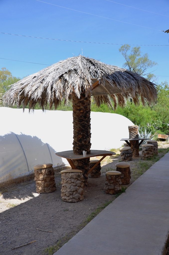
They even had a palapa where we sat while enjoying their delicious date shakes! We also took home some date bread, yum!!Jan saw this rock formation on the way out and wanted me to take a picture for some reason. Hmmmm?!?
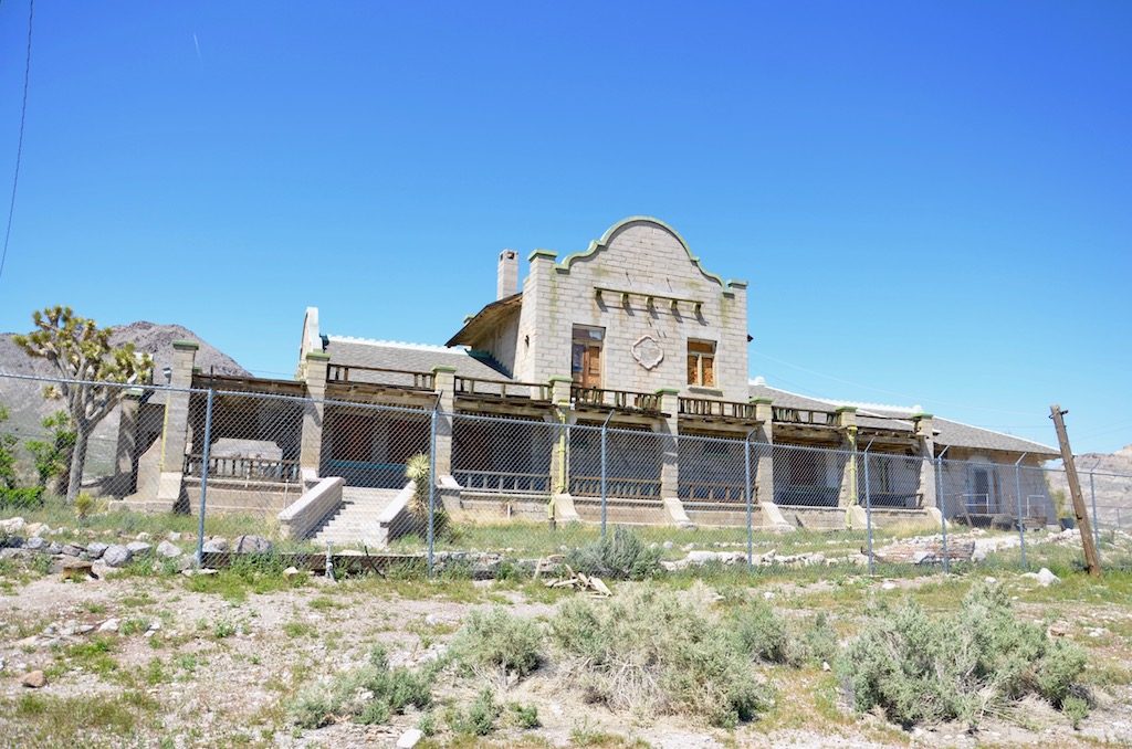
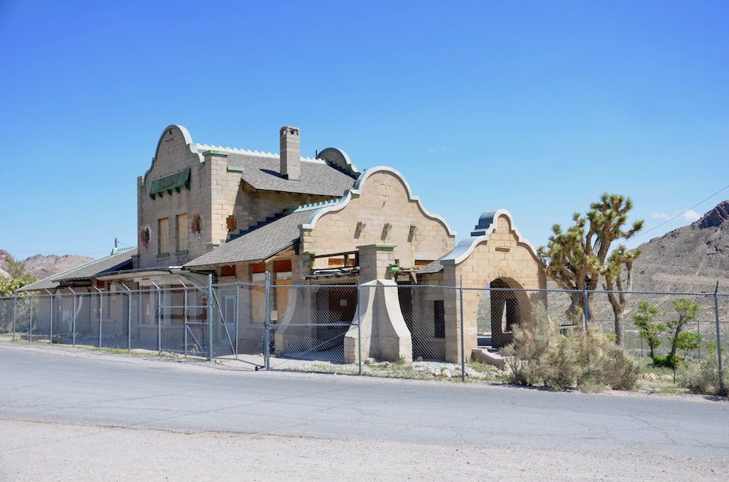
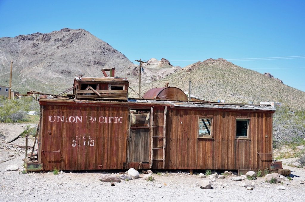
rhyolite ghost town
One of the buildings left of this old gold mining community from the early 1900’s; if you Google it it’s a pretty interesting story!
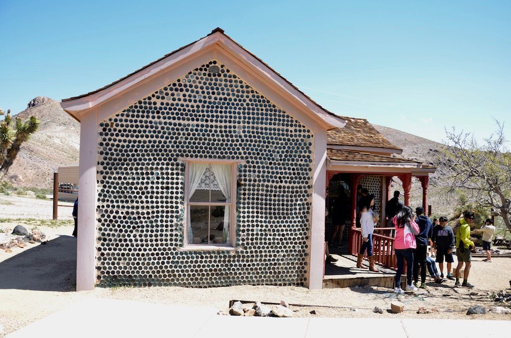
This metal art depicts a miner; I’m not really sure how the Penguin fits in?!?Another interesting building was this bottle house. Its built using hundreds of bottles. Since it was a mining town I’m sure there was no shortage of empty booze/beer bottles!
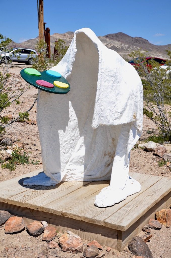
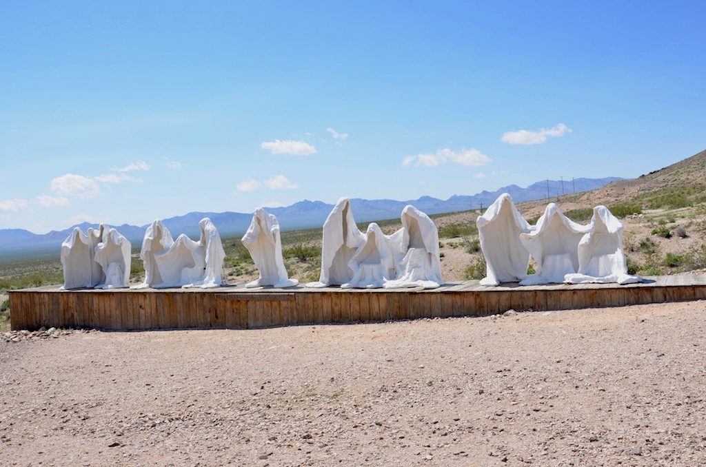
But the strangest thing was this still operating “Art” Museum; see for yourself!This of course, was called “Ghost Rider”!Ghost Painter?!?And of course the Holy Ghost at the Last Supper!Why not? A mosaic tiled cement couch!
the amargosa opera house and hotel
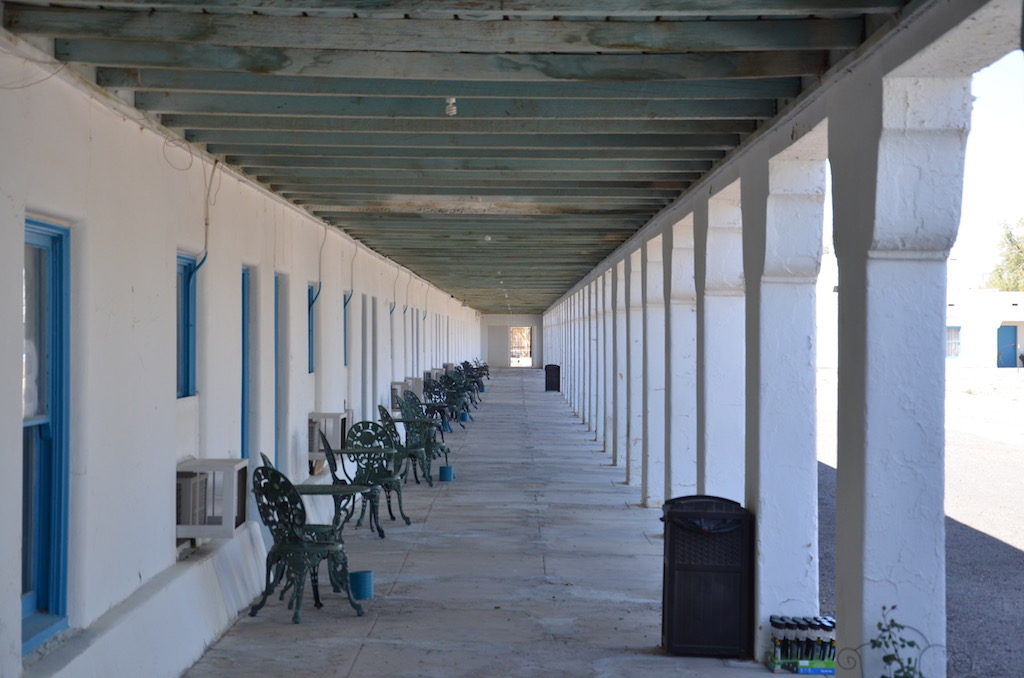
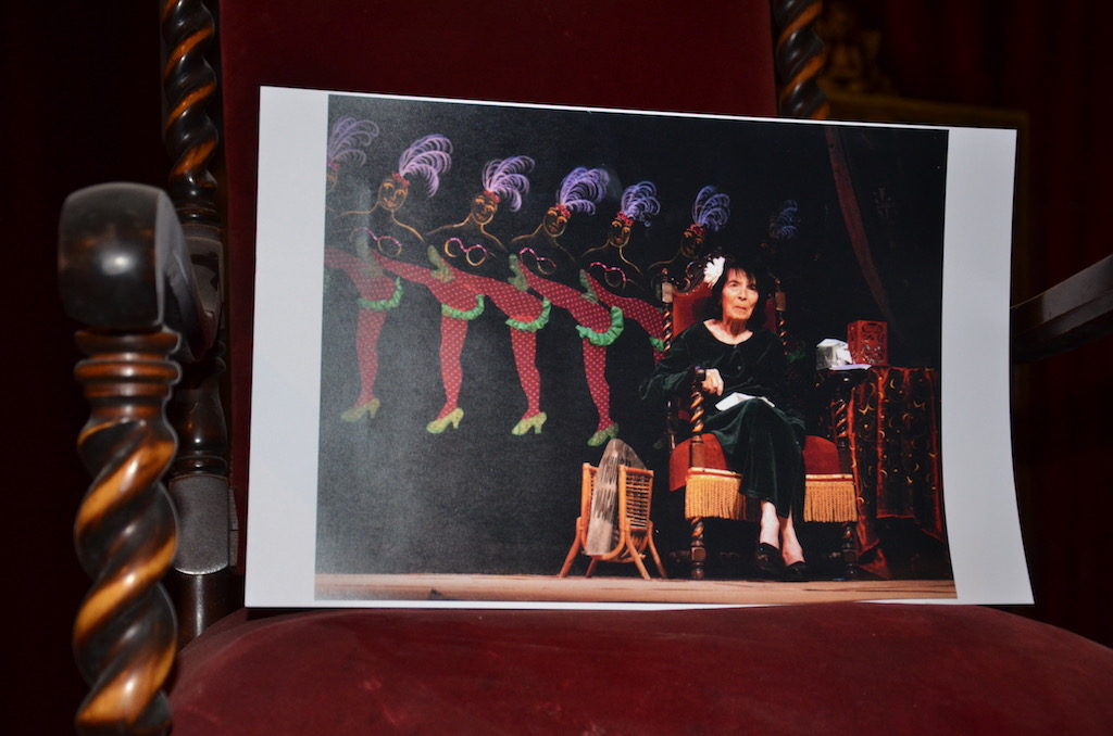
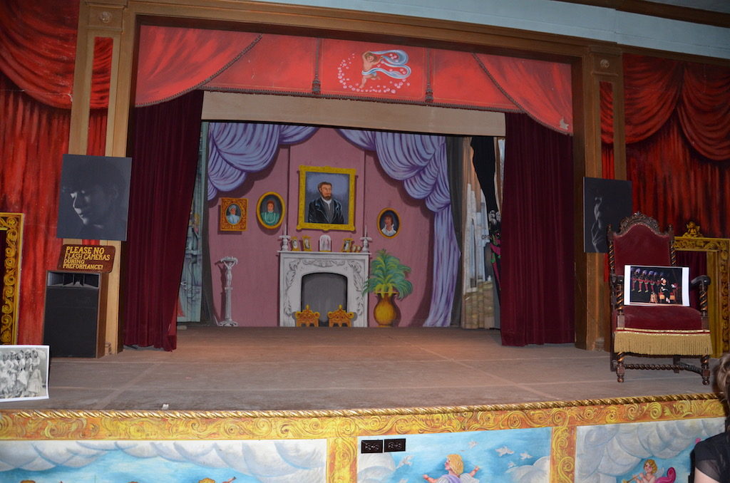
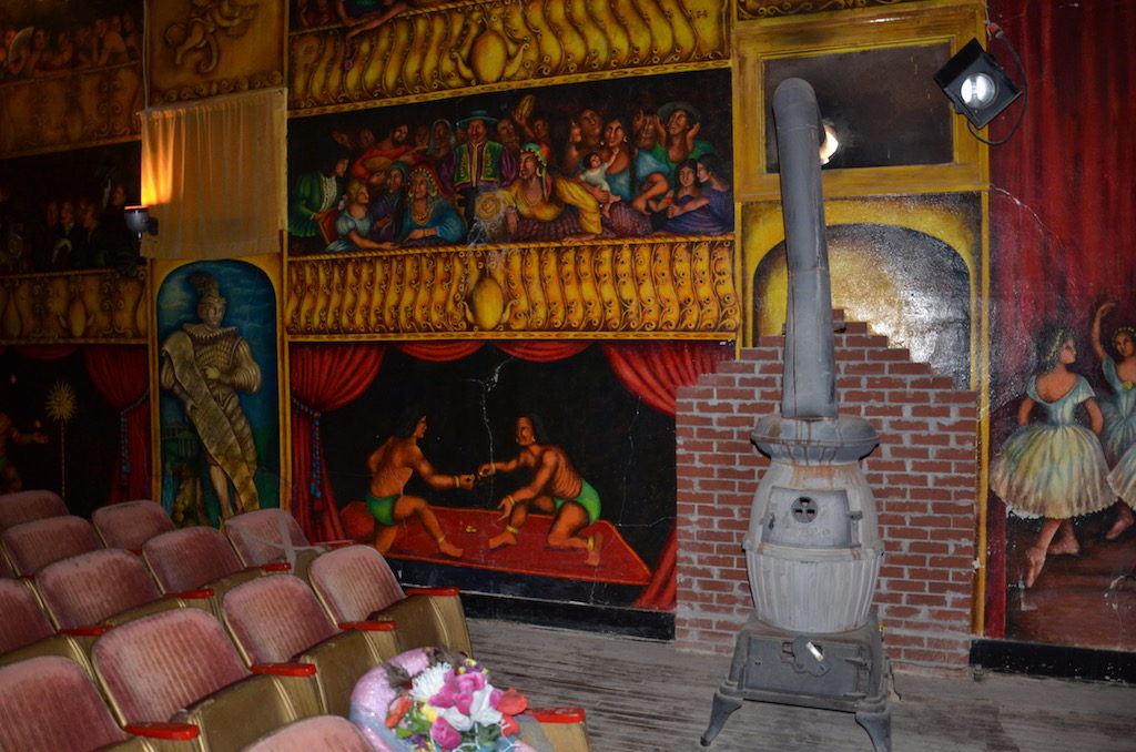
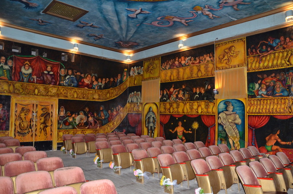
It almost looks abandoned from the outside but is an operating Hotel and Opera House used for artist to perform; not so much opera now. The woman who bought it in 1967 and started the Opera House/Hotel business, Marta Becket, just died this year at the age of 92. She performed there up until she was 87!The hotel rooms; still operating, more like a 50’s motel I’d say!
A tribute to Marta
When audiences were sparse (which I’m sure was often out in the middle of nowhere!) Marta missed having an audience so she started painting these murals. That’s the king and queen of Spain of the time in this one!Maybe too much time in the desert?!?
Their “Yard Art”!
we also did do a “tour” of the chicken ranch, but nothing photo worthy! i did buy a tshirt for my good friend tom though!
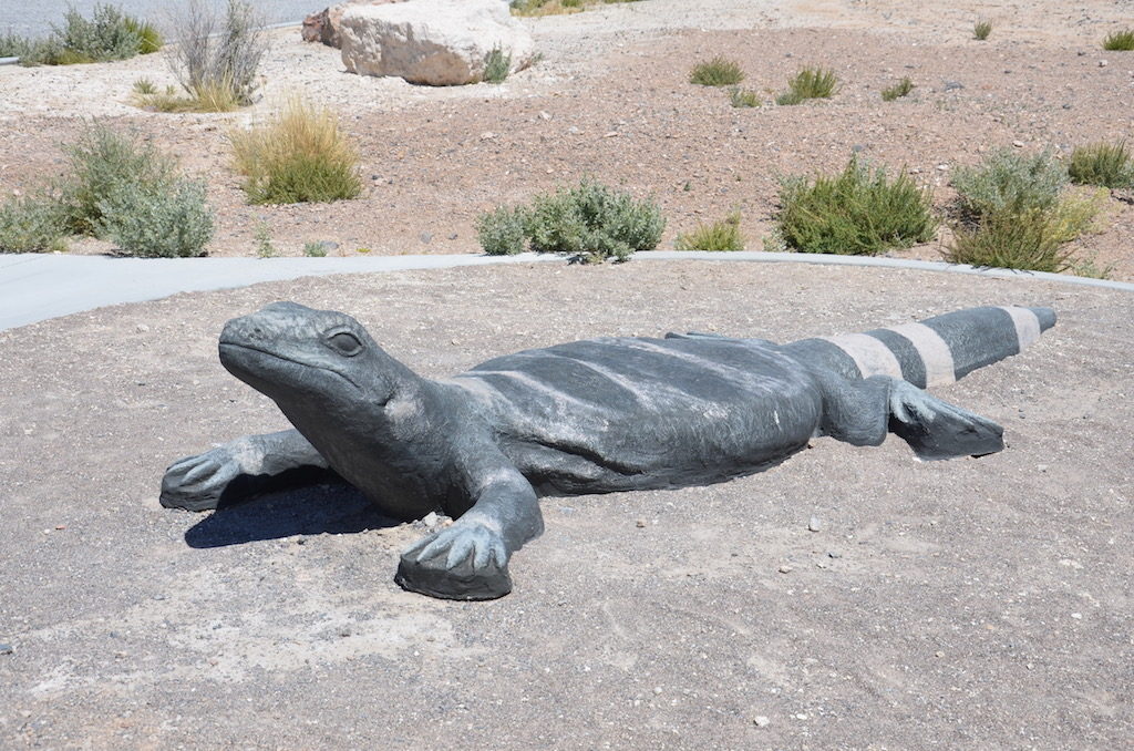
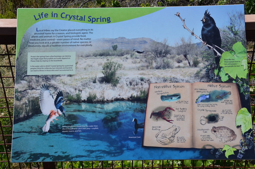
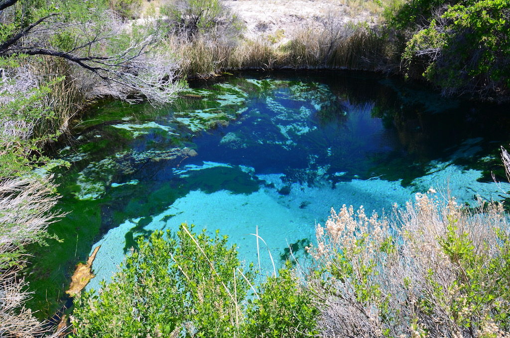
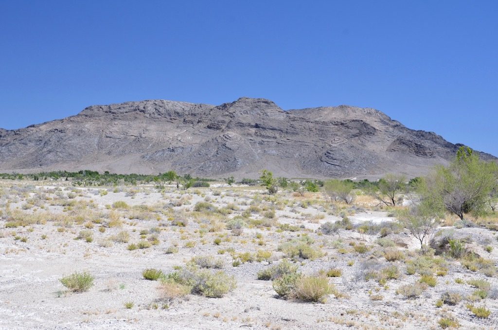
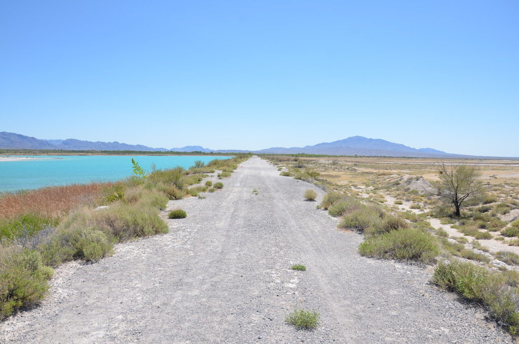
Just outside of Death Valley National Park is this refuge. A very interesting place as you’ll see by this post.All the roads in the refuge are gravel, very dusty!the Visitors Center.Visitors Center greeter!
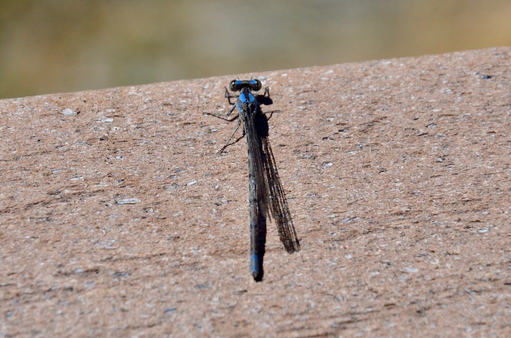
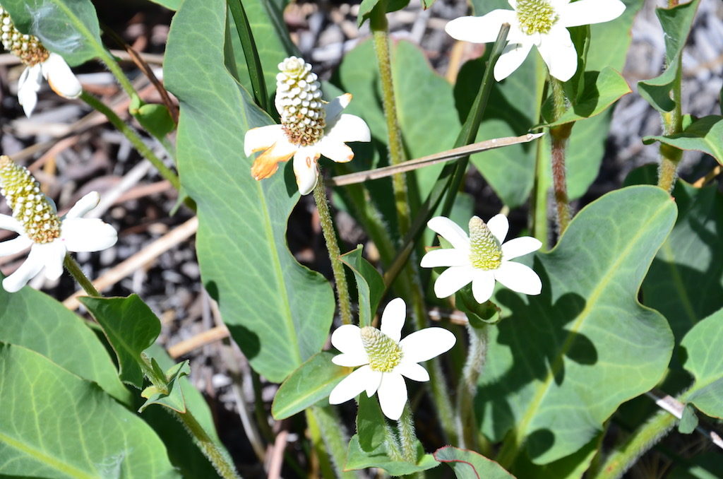
This little guy was hanging out on the railing overlooking the spring. He’s about an inch long.Streams like this connect all the different springs. According to the signs we read the water is fairly warm and acidic and has bacteria, so if you’re not used to it, it is not drinkable.
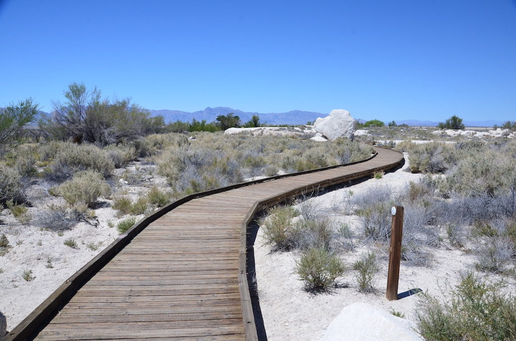
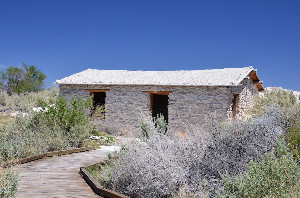
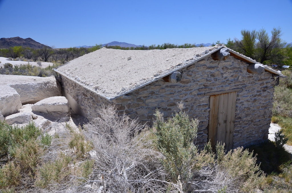
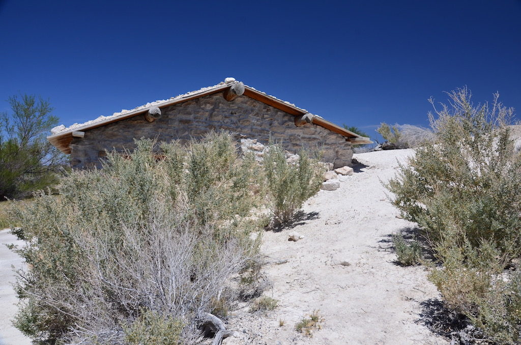
An interesting formation on these nearby mountains!This boardwalk leads to the Longstreet spring and cabin. The story is Mr. Longstreet apparently killed 5 men, only one of which he was sorry for.
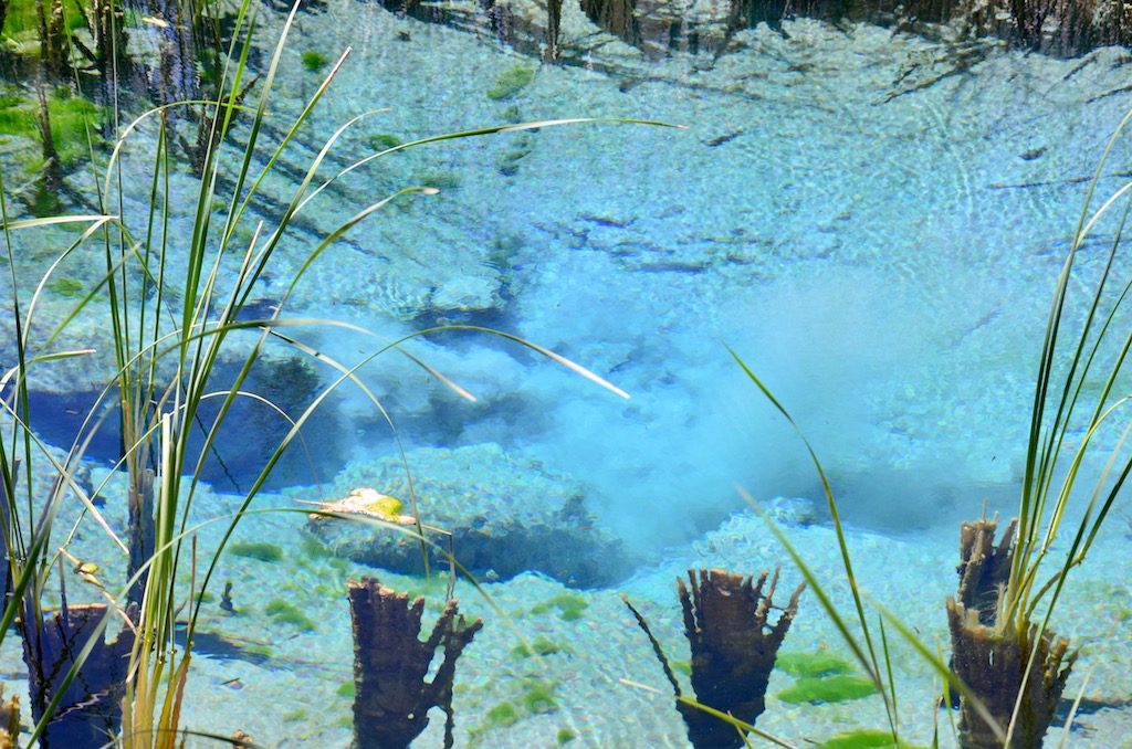
The spring near the cabin.You can see the sand inn the bottom being stored up by incoming water from the spring source.This was another spring nearby
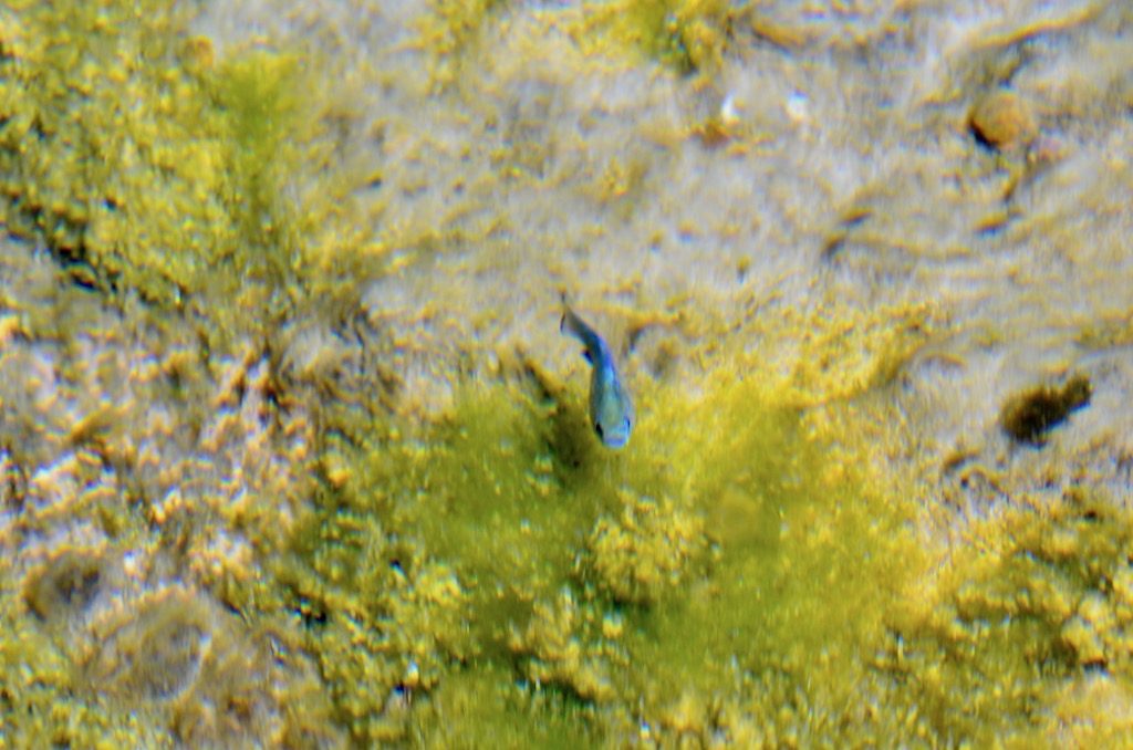
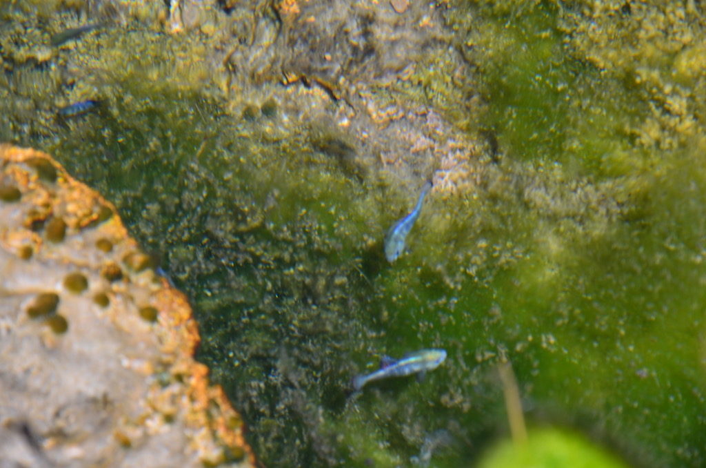
One of the spring residents. This is the only place in the world these tiny fish exist. The one here are fresh water veriety while in nearby Devils Hole they are saltwater!
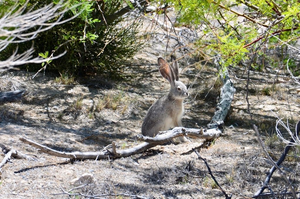
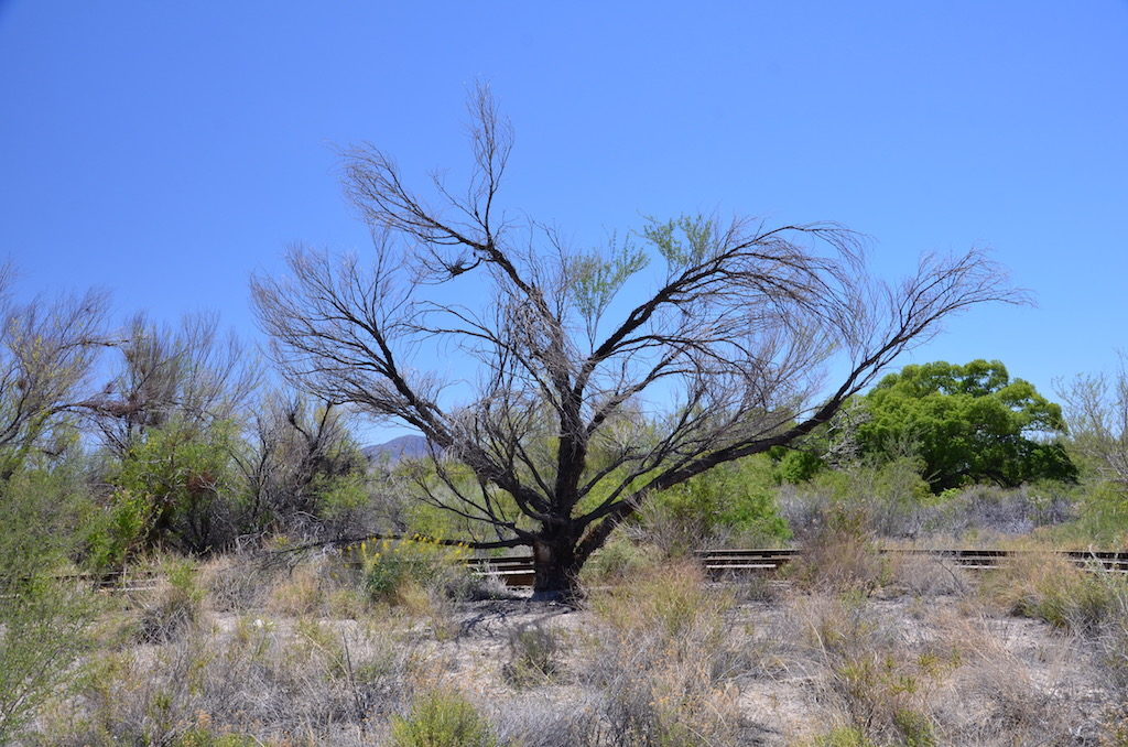
A local resident; a Jackrabbit.One of the local Mesquite trees.
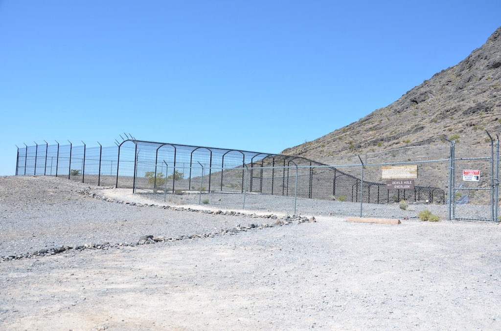
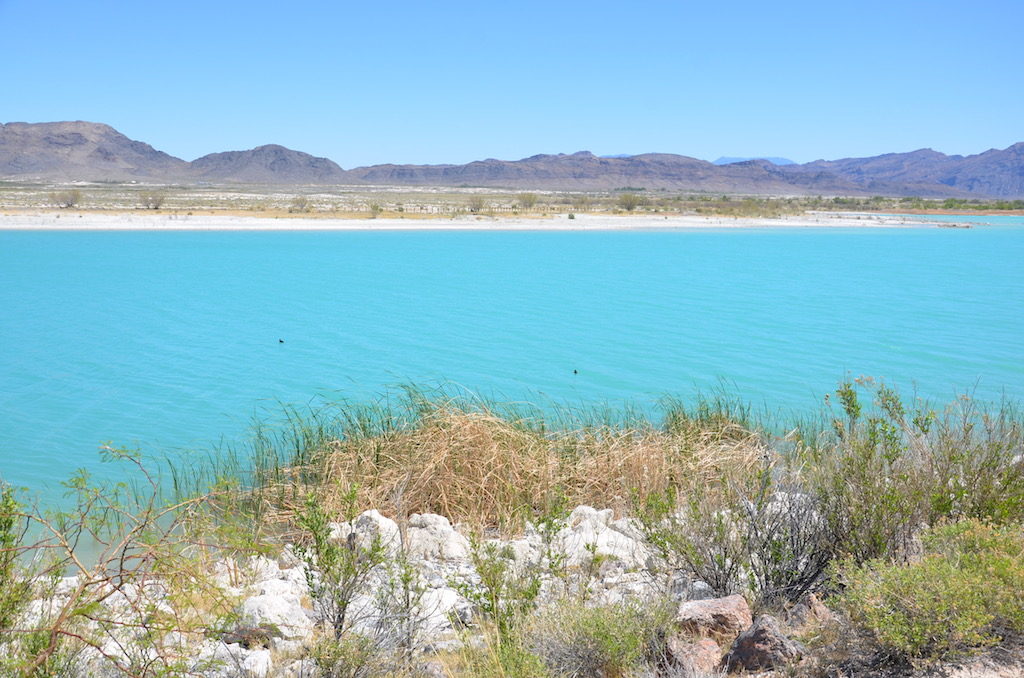
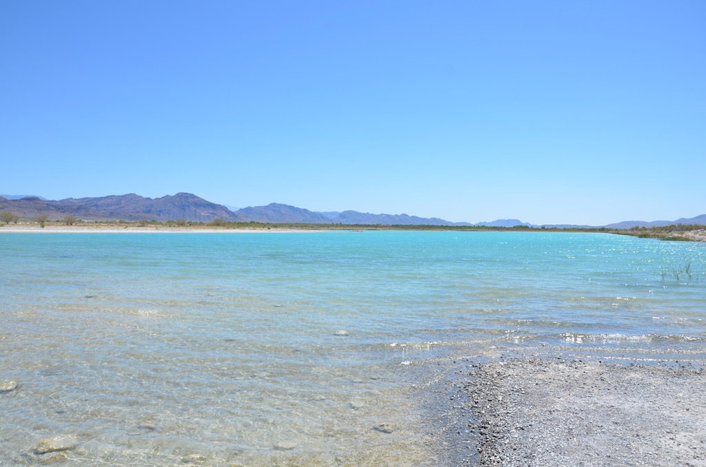
This is Devil’s Hole. Nothing exciting to see from the surface but if you Google it you’ll come up with some fascinating video of divers exploring the massive underground (and underwater) caves here.They’re serious about keeping unwanted explorers out. The only personnel allowed are researchers and rangers.Also in this refuge is this spring fed reservoir. looks strange to see the Carribean looking body of water in the otherwise desolate area.